Save town Compare Needs More Love
Town guide

Londonderry

A town of 26,685 people in Rockingham County, New Hampshire
Be the first to joinEarn karma for joining →
1

Now in Londonderry

What’s happening this week

All posts →
This week+ What’s happening in Londonderry?
From your neighbors

What’s happening

A preview of what neighbors share. Be the first to post in Londonderry.

Weather

Forecast →
Coming up

Upcoming events

Nothing on the calendar yet

Put the next local happening — a market, a meeting, a concert — on the map.

Add an event →
Around town

Local news

All news →

Headlines via Google News · Articles belong to their publishers.

2

Around town

The places and views that make it Londonderry

Explore places →
3

Know Londonderry

The town at a glance, and the guide to how things work

Open the full guide →

About Londonderry

Town in New Hampshire, United States
1722Established
25,826Population
42.1 sq miArea
420 ftElevation

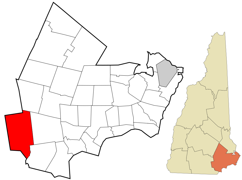
Londonderry is a town in western Rockingham County, New Hampshire, United States. It sits between Manchester and Derry, the largest and fourth-largest communities in the state. The population was 25,826 at the 2020 census. Londonderry is known for its apple orchards and is home to the headquarters of Stonyfield Farm and part of Manchester–Boston Regional Airport. The more densely settled portion of town, where 11,645 people lived at the 2020 census, is defined as the Londonderry census-designated place (CDP) and roughly occupies the southeastern and southern parts of town, around New Hampshire Route 102.

Official town website ↗

From Wikipedia, licensed CC BY-SA 4.0 · facts via Wikidata (CC0)

Town numbers

ZIP code03053
Area code603
Famous people from LondonderryWriters, athletes, leaders and more who were born in Londonderry.Meet them →

How things work in Londonderry

All explainers →
You’re browsing

Londonderry

New Hampshire · NH · Rockingham County
View town boundary →
Township / city / CDP overlaps possible.
Loading boundary…

Londonderry is your selected town. The feed includes posts assigned to this town, not a distance radius or ZIP code.

Neighborhoods narrow the feed further, while townwide announcements, events, and issues remain visible.

Boundary source: https://tigerweb.geo.census.gov/arcgis/rest/services/TIGERweb/Places_CouSub_ConCity_SubMCD/MapServer/15 · 2025-01-01