Littleton

What’s happening
Be the first to post in Littleton — introduce yourself, ask a question, or share what’s happening.
Weather
Forecast →Upcoming events
Put the next local happening — a market, a meeting, a concert — on the map.
Local news
Headlines via Google News · Articles belong to their publishers.
The Littleton album
About Littleton
Town in New Hampshire, United StatesLittleton is a town in Grafton County, New Hampshire, United States. The population was 6,005 at the 2020 census. Situated at the northern edge of the White Mountains, Littleton is bounded on the northwest by the Connecticut River. The main village in town, where 4,467 people lived at the 2020 census, is defined as the Littleton census-designated place (CDP) and is centered on the intersection of U.S. Route 302 with New Hampshire Route 116, along the Ammonoosuc River.
From Wikipedia, licensed CC BY-SA 4.0 · facts via Wikidata (CC0)
How Littleton ranks
All →Town numbers
Schools in Littleton
In the guide →School data from the U.S. Department of Education (NCES). Ratings are from neighbors.
Where Littleton is
Explore map →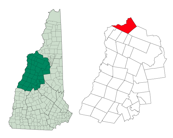

Location map