The story
from WikipediaRead it all ↗East Kingston was once a part of Kingston called "Kingston East Parish", but was granted a separate charter in 1738 by Governor Jonathan Belcher. Several residents of East Kingston had petitioned Governor Belcher that its location was too distant from the Kingston school and place of worship.
The town grew up around the saw and grist mill at the Trickling Falls on the edge of Powwow Pond. Farms prospered on the good soil, and ice-cutting in the Powwow River was a thriving winter business before the age of refrigeration. The New England Brick Company was once a principal industry.
Text from Wikipedia, licensed CC BY-SA 4.0.
Start East Kingston’s collection
The first neighbors to add old photos shape how East Kingston’s history is told.
0 of 10 decades since 1900 have photos 📦Share a family photoSign in to add one+10East Kingston, decade by decade
2000
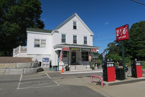 CommonsJones General Store2017
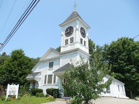 CommonsUnited Methodist Church2014
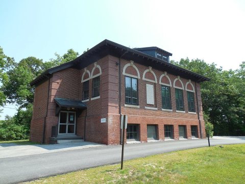 CommonsTown Offices2014
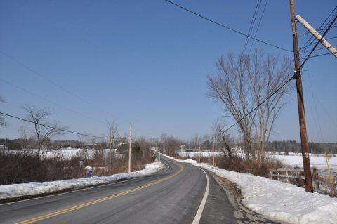 CommonsNH108 EastKingstonLookingNorth2013
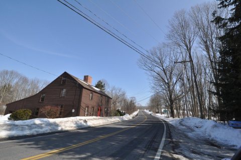 CommonsNH107 EastKingstonLookingEast2013
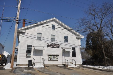 CommonsEastKingstonNH TownHall2013
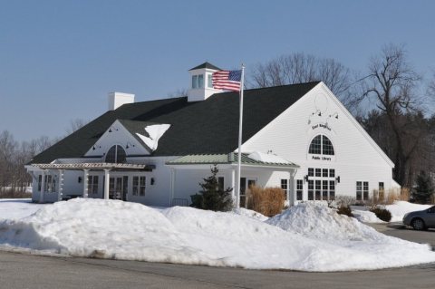 CommonsEastKingstonNH Library2013
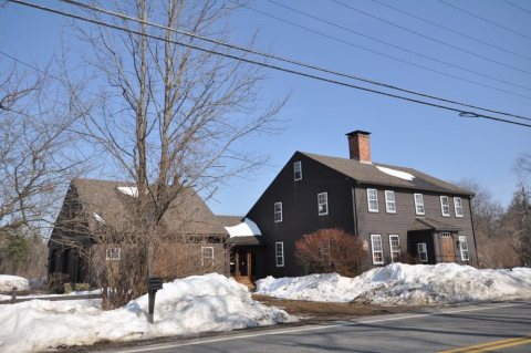 CommonsEastKingstonNH GreeleyTavern2013
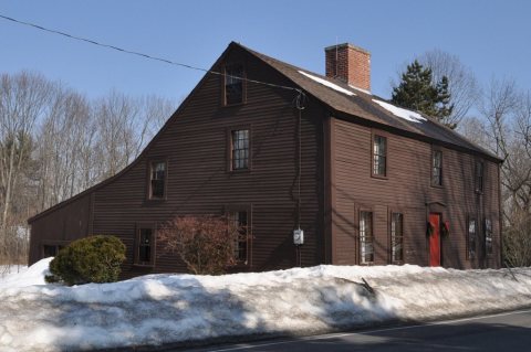 CommonsEastKingstonNH GreeleyHouse2013
Then & now
When neighbors add old photos, retakes from the same spot appear here side by side.
Historic places
National Register · via Wikidata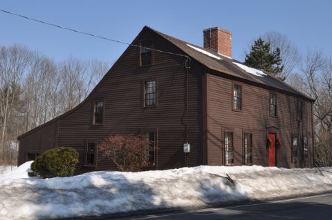
From Wikimedia Commons (9) and the National Register (1). Images are copied here with their credits and licenses, shown on each photo’s page. Refreshed monthly.