The story
from WikipediaRead it all ↗Allenstown takes its name from 17th-century provincial governor Samuel Allen. It was granted in 1721 but not incorporated until July 2, 1831. A part of neighboring Bow was annexed to Allenstown in 1815, and a portion of Hooksett was annexed in 1853.
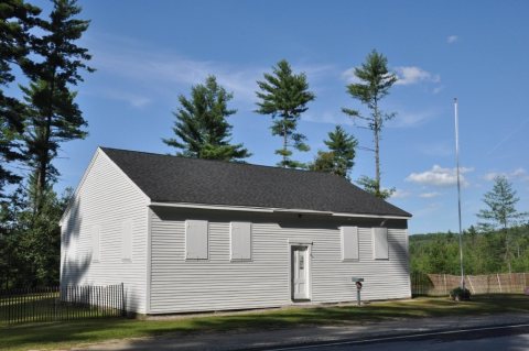
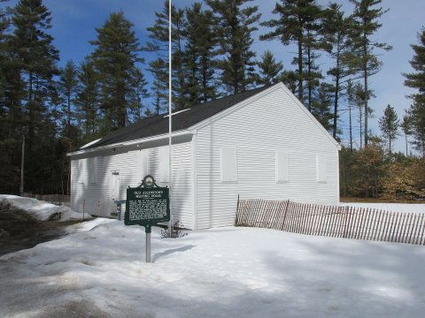
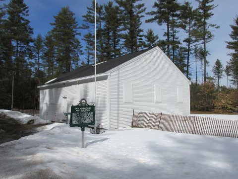
Most of the town's earliest settlement occurred in the eastern part of town along Deerfield Road, around the area now mostly occupied by Bear Brook State Park, and where the Old Allenstown Meeting House is located. Following the Civil War, the town's population shifted from the east to the west part of town, centered around the confluence of the Merrimack and Suncook rivers, in the area now known as Suncook.
Text from Wikipedia, licensed CC BY-SA 4.0.
Start Allenstown’s collection
The first neighbors to add old photos shape how Allenstown’s history is told.
0 of 10 decades since 1900 have photos 📦Share a family photoSign in to add one+10Allenstown, decade by decade
2000


Then & now
When neighbors add old photos, retakes from the same spot appear here side by side.
Historic places
National Register · via Wikidata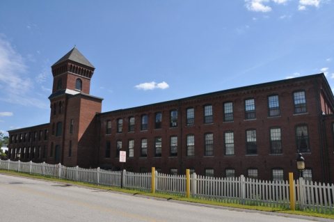
From Wikimedia Commons (5) and the National Register (3). Images are copied here with their credits and licenses, shown on each photo’s page. Refreshed monthly.