The story
from WikipediaRead it all ↗The village was platted in April 1890 when the Union Pacific constructed a branch line of railroad, the Omaha and Republican Valley Railway, from Boelus in Howard County through Ravenna and on to Pleasant Valley. The village was a terminus station for the branch line of railroad located on the north side of the South Loup River called Pleasant Valley. This was also the location of an early settlement called Peters' Bridge. The Peters family was one of the first settlers to the area when they constructed and operated the bridge. Peters' Bridge was the location of a station on the stagecoach and freight line that went north with supplies. A post office was located in an area called South Loup, near the bridge. This area of section 35 of the Loup Township was previously known as Riverview, when the post office was established in 1883. James Hunter became the first postmaster of Riverview. …
Text from Wikipedia, licensed CC BY-SA 4.0.
Start Pleasanton’s collection
The first neighbors to add old photos shape how Pleasanton’s history is told.
0 of 10 decades since 1900 have photos 📦Share a family photoSign in to add one+10Famous people from Pleasanton
See all 1 →Pleasanton, decade by decade
2000
Nothing in Pleasanton is on the National Register yet
That’s true of most small towns. It doesn’t mean Pleasanton has no history, only that no one has written up a nomination. The closest listed place is Sweetwater Mill Bridge in Poole, 6.4 miles away.
Pleasanton and the nearest listed places
How a place gets listed
Then & now
When neighbors add old photos, retakes from the same spot appear here side by side.
Stories next door
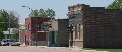
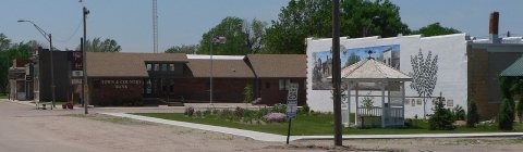
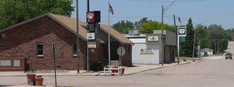
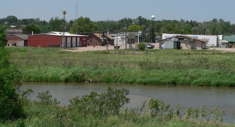
nearby towns’ historyFrom Wikimedia Commons (5). Images are copied here with their credits and licenses, shown on each photo’s page. Refreshed monthly.