The story
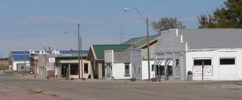
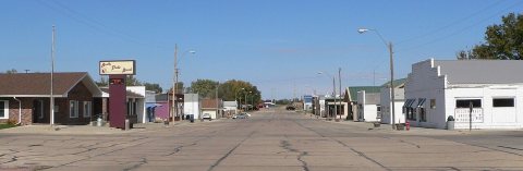
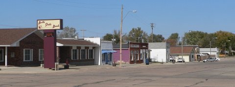
from WikipediaRead it all ↗Butte was named from the small hills, or buttes, near the town site.
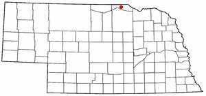
The Central Interstate Low Level Radioactive Waste Compact and US Ecology purchased land two miles west of Butte in the early 1990s. The land was to become the site of the compact's dump; however, following extensive controversy, the dump was eventually removed from consideration. Nebraska was officially removed from the compact after a series of long court battles that ended in 2004. The state of Nebraska had to pay a settlement and there have been attempts made to sell the compact's land just outside Butte.
Text from Wikipedia, licensed CC BY-SA 4.0.
Start Butte’s collection
The first neighbors to add old photos shape how Butte’s history is told.
0 of 10 decades since 1900 have photos 📦Share a family photoSign in to add one+10Butte, decade by decade
2000
Then & now
When neighbors add old photos, retakes from the same spot appear here side by side.
Historic places
National Register · via Wikidata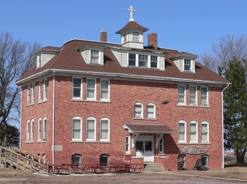
From Wikimedia Commons (4) and the National Register (1). Images are copied here with their credits and licenses, shown on each photo’s page. Refreshed monthly.