A history of Wahpeton,
since 1869
Postcards, papers and photographs of Wahpeton from public archives, woven together by decade. Neighbors fill in the gaps.
The story
from WikipediaRead it all ↗Wahpeton was founded in 1869 and is the principal city of the Wahpeton Micropolitan Statistical Area, which includes all of Richland County, North Dakota and Wilkin County, Minnesota. Wahpeton's twin city is Breckenridge, Minnesota, on the other side of the river. The Bois de Sioux River and the Otter Tail River join at Wahpeton and Breckenridge to form the Red River of the North.
Text from Wikipedia, licensed CC BY-SA 4.0.
Timeline
built from the dates on the items belowFinish Wahpeton’s story
Most archives stop around 1920. The photos from after that are in family albums, not libraries.
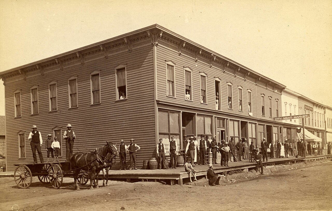
1 of 10 decades since 1900 have photos 🔁Retake an old viewMerchants Hotel in Wahpeton, N.D.…, 1880: stand where they stood+15 📦Share a family photoSign in to add one+10Famous people from Wahpeton
See all 8 →
Wahpeton, decade by decade
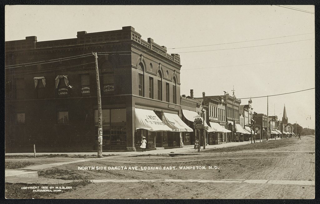
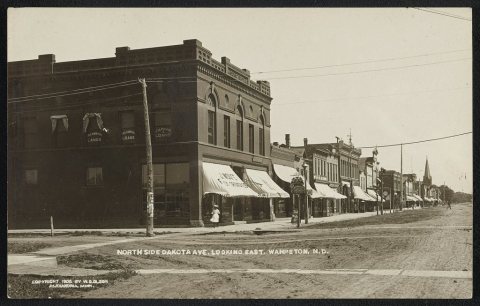 LOCNorth side Dakota Ave., looking east1908
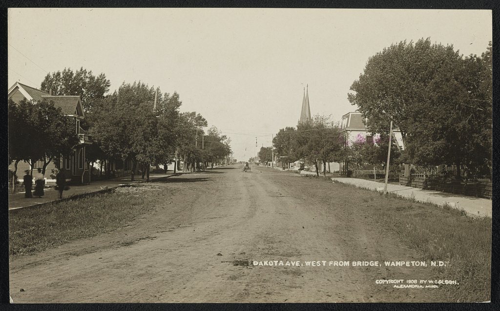
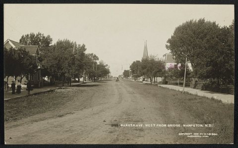 LOCDakota Ave. west from bridge1908
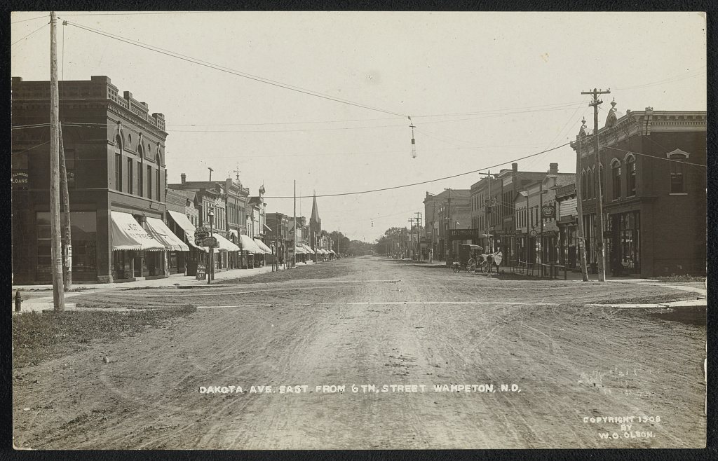
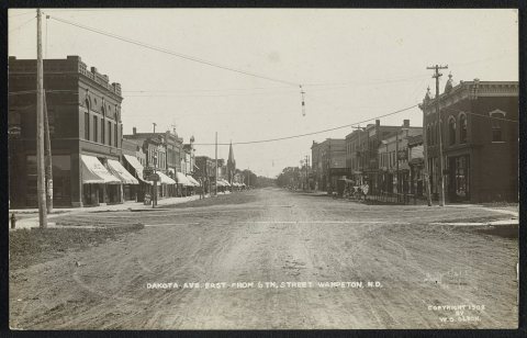 LOCDakota Ave. east from 6th Street1908
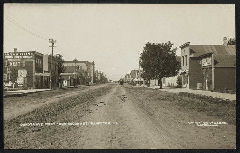 LOCDakota Ave., west from Second St1908
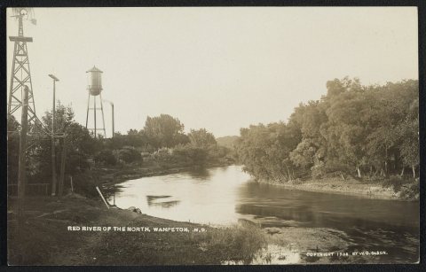 LOCRed River of the North1908
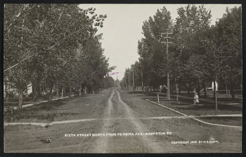 LOCSixth Street north from Pembima Ave1908
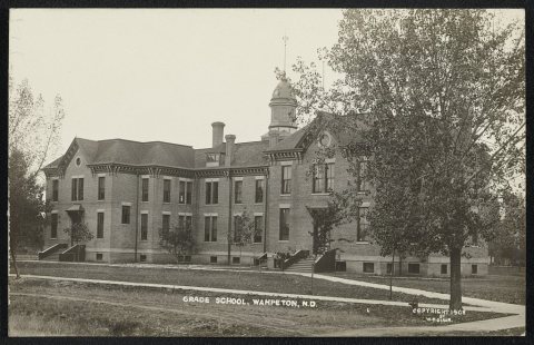 LOCGrade chool1908
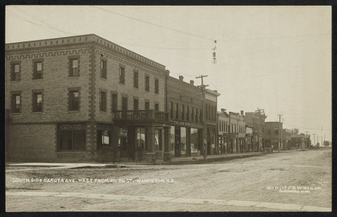 LOCSouth side Dakota Ave., west from Fifth St1908
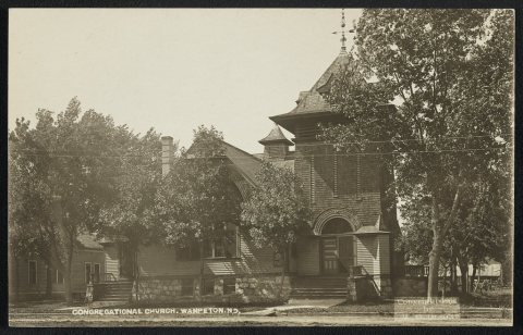 LOCCongregational Church1908
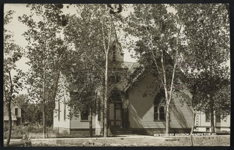 LOCMethodist Church1908
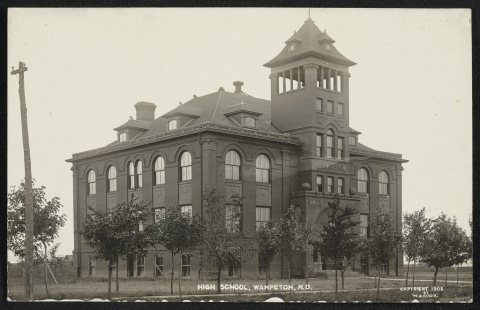 LOCHigh School1908
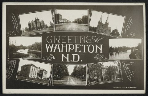 LOCGreetings from Wahpeton, N.D1908
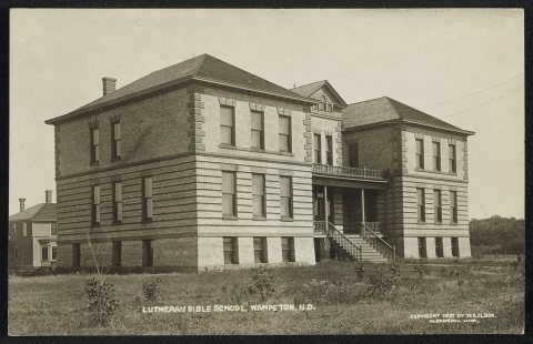 LOCLutheran Bible School1908
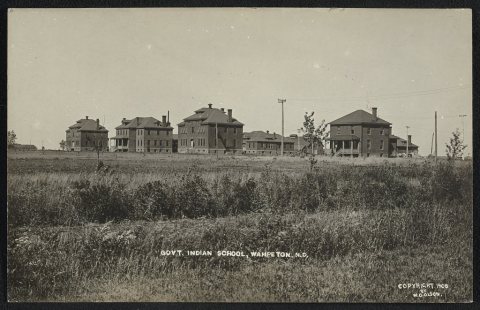 LOCGovt. Indian School1908
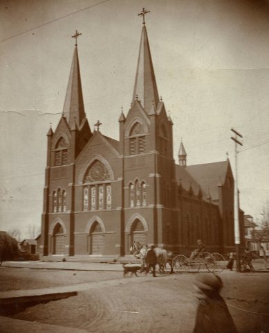
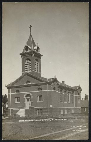 LOCBohemian Catholic Church1908
1990s
5 historic places in Wahpeton
5 places in Wahpeton are on the National Register of Historic Places, the country’s official list of buildings and places worth saving.
Where they are
When they were listed
 Listed 1980Richland County Courthouse
 Listed 1983Wahpeton Hospital
 Listed 1984Red River Valley University
 Listed 1989US Post Office-Wahpeton
 Listed 1990Leach Public Library
Then & now
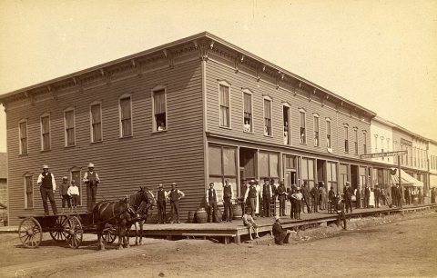
No then-and-now pairs yet. Take a photo from the same spot as Merchants Hotel in Wahpeton, N.D., late 1800s (1880) and it appears here side by side.
🔁 Retake this view · +15Stories next door
nearby towns’ historyFrom Wikimedia Commons (3) and the Library of Congress (15). Images are copied here with their credits and licenses, shown on each photo’s page. Refreshed monthly.