← How Kickapoo ranks
North Dakota rankings · Outdoors Most walkable towns in North Dakota Ranked by street connectivity: intersections per square mile, the standard walkability measure the EPA uses. 24 towns with 2,500+ residents.
Kickapoo Not on this list Kickapoo has fewer than 2,500 residents, the floor for ND lists.
All 24 towns Intersections per sq mi, highest first. Towns next door to Kickapoo are tagged.
# Town Intersections per sq mi Dead ends Street miles
2
Beulah 3,040 people 73.0 / sq mi 16.4% 34.0 mi
3
West Fargo 40,094 people 72.6 / sq mi 12.2% 200.6 mi
4
Dickinson 25,357 people 71.4 / sq mi 12.3% 157.4 mi
5
Bismarck 75,556 people 65.8 / sq mi 11.9% 415.7 mi
6
Wahpeton 8,010 people 62.4 / sq mi 17.8% 58.4 mi
7
Fargo 131,627 people 60.3 / sq mi 8.9% 560.5 mi
9
Mandan 24,522 people 59.3 / sq mi 19.6% 134.8 mi
10
Minot 47,791 people 59.0 / sq mi 20.6% 268.7 mi
11
Lincoln 4,381 people 59.0 / sq mi 16.3% 23.1 mi
13
Grafton 4,102 people 57.2 / sq mi 14.7% 38.5 mi
14
Casselton 2,953 people 55.0 / sq mi 20.5% 22.0 mi
15
Jamestown 15,787 people 53.0 / sq mi 14% 117.3 mi
16
Williston 28,056 people 44.2 / sq mi 12.3% 215.3 mi
17
New Town 2,721 people 31.4 / sq mi 13.5% 20.2 mi
19
Horace 4,588 people 23.8 / sq mi 15.5% 67.7 mi
20
Minot AFB 4,878 people 18.7 / sq mi 11.1% 32.0 mi
21
Hay Creek Burleigh County · 4,348 people 12.4 / sq mi 28.7% 105.8 mi
22
Gibbs Burleigh County · 2,836 people 4.5 / sq mi 27.8% 72.1 mi
23
Apple Creek Burleigh County · 3,490 people 4.1 / sq mi 28.4% 77.6 mi
24
Tatman Ward County · 2,730 people 3.4 / sq mi 6.8% 65.5 mi
We rank every town by street connectivity: intersections per square mile, the standard walkability measure the EPA uses. More intersections mean shorter, more direct walks, while cul-de-sac layouts with long dead ends rank lower. Sidewalks are not mapped consistently enough to rank, so this measures the street grid itself. The town with the highest figure ranks #1.
Only towns with at least 2,500 residents are ranked; Census estimates for smaller places are too uncertain. Population and income: U.S. Census Bureau American Community Survey 5-year estimates. Trails, streets and parks: © OpenStreetMap contributors (ODbL). Conserved land: USGS PAD-US . Measured within each town's Census boundary. Town photos: Wikimedia Commons, credited on each town’s page.
More on outdoors in Kickapoo →
Tell Kickapoo what the numbers miss Your answer becomes a post in Kickapoo’s Town Square.
Weigh in
Should Kickapoo be on this list?
Agree Disagree
Ask neighbors
What would you tell someone looking at Kickapoo? → Who really deserves #1? → Copyright © 2026 TownTapestry · Stitching communities together · In loving memory of John F. Cullinane Browse by state · Privacy · Terms 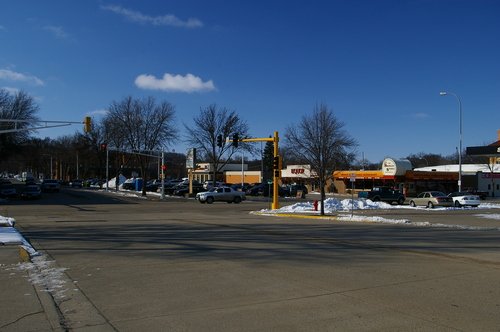 #1
#1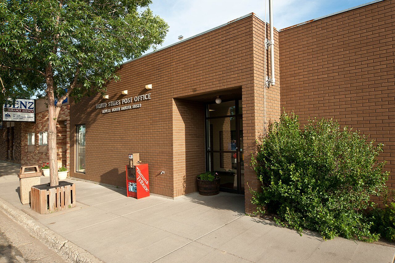 #2
#2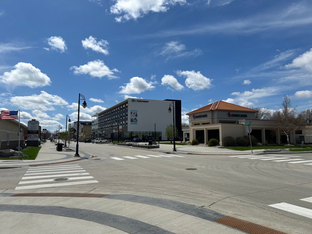 #3
#3