The story so far
from Wikipedia & the U.S. CensusJoliette is an unincorporated community located along Interstate 29 in Joliette Township in Pembina County in the U.S. state of North Dakota. It was established in 1879 as a rural post office. It was settled by French Canadians and named for Joliette, Quebec, the hometown of the town's first settler. the post office is no longer operating and shares the ZIP code 58271 with the city of Pembina. Local agribusinesses are served by a BNSF rail line that extends from Grand Forks; however, this line has been abandoned north of Joliette since 1980.
Between the 2010 and 2020 censuses its population fell from 67 to 44 (-34%). Half of its homes were built before 1961.
Wikipedia doesn’t have a history of Joliette yet — the old photos, dates and memories neighbors add here are how it gets written.
Intro from Wikipedia, licensed CC BY-SA 4.0. Population and housing: U.S. Census Bureau.
Start Joliette’s collection
The first neighbors to add old photos shape how Joliette’s history is told.
0 of 10 decades since 1900 have photos 📦Share a family photoSign in to add one+10Famous people from Joliette
See all 1 →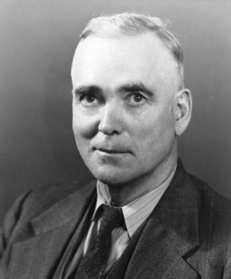
Joliette, decade by decade
2000
Then & now
When neighbors add old photos, retakes from the same spot appear here side by side.