The story
from WikipediaRead it all ↗Elgin was platted in 1910 when the railroad was extended to that point. The town was originally known as Shanley, but when the Northern Pacific Railroad came through town, they objected to the name as it was too similar to Stanley (the seat of Mountrail County), so the citizens were asked to choose a new name. At one point, one committee member checked the time on his Elgin pocket watch and suggested the brand name, which was found to be acceptable. A post office has been in operation at Elgin since 1910.
Text from Wikipedia, licensed CC BY-SA 4.0.
Start Elgin’s collection
The first neighbors to add old photos shape how Elgin’s history is told.
0 of 10 decades since 1900 have photos 📦Share a family photoSign in to add one+10Elgin, decade by decade
2000
Then & now
When neighbors add old photos, retakes from the same spot appear here side by side.
Historic places
National Register · via Wikidata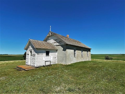
From the National Register (1). Images are copied here with their credits and licenses, shown on each photo’s page. Refreshed monthly.