A history of Belfield,
since 1883
Postcards, papers and photographs of Belfield from public archives, woven together by decade. Neighbors fill in the gaps.
The story so far
from Wikipedia & the U.S. CensusBelfield is a city in Stark County, North Dakota, United States and only 15 minutes from Theodore Roosevelt National Park. The population was 996 at the 2020 census. Belfield was founded in 1883, and has seen many booms and busts in this oil-rich part of North Dakota. It is part of the Dickinson Micropolitan Statistical Area. In 1883 Belfield was struck by a tornado that swept away nine houses but did not cause any deaths. It was known as "The Remarkable Tornado of 1883." Exactly one year later the area was hit by another tornado, which destroyed crops and caused total losses at some farms near Belfield.
Belfield was established in 1883. Between the 2010 and 2020 censuses its population grew from 800 to 996 (+25%). Half of its homes were built before 1981.
Wikipedia doesn’t have a history of Belfield yet — the old photos, dates and memories neighbors add here are how it gets written.
Intro from Wikipedia, licensed CC BY-SA 4.0. Population and housing: U.S. Census Bureau.
Timeline
built from the dates on the items belowFinish Belfield’s story
Most archives stop around 1920. The photos from after that are in family albums, not libraries.
1 of 10 decades since 1900 have photos 🔁Retake an old viewSheep in stockyards awaiting ship…, 1936: stand where they stood+15 📦Share a family photoSign in to add one+10Famous people close to Belfield
See all 12 →



Belfield, decade by decade
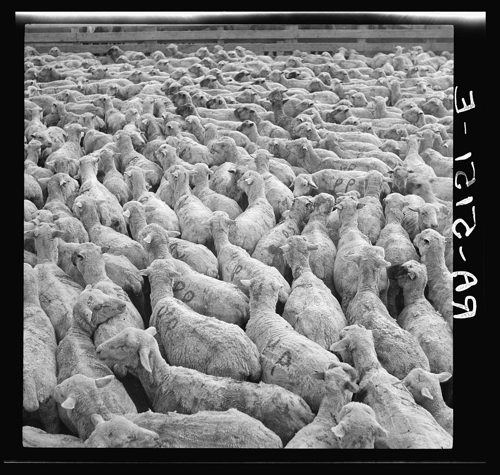
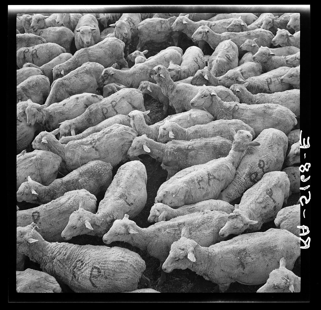
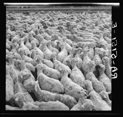 LOCSheep in stockyards awaiting shipment. Belfield, North Dako…1936
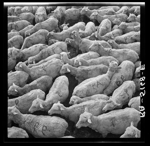 LOCSheep in stockyards awaiting shipment. Belfield, North Dako…1936
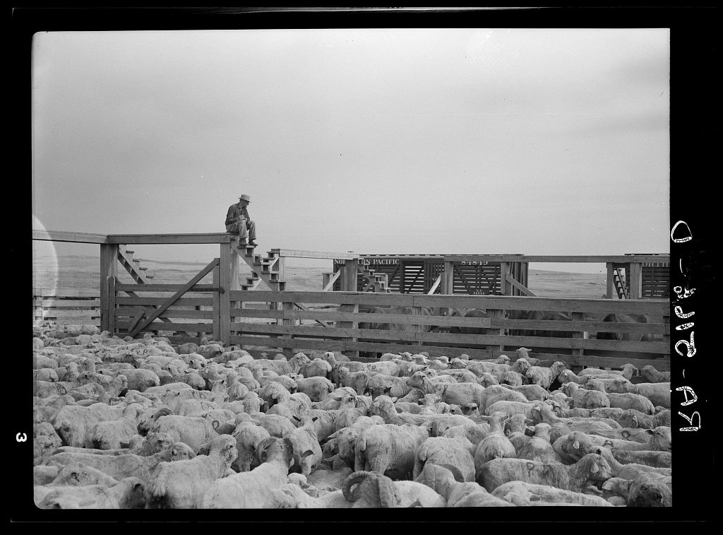
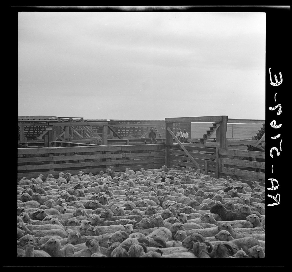
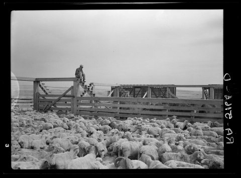 LOCShipping sheep out of drought area. Belfield, North Dakota1936
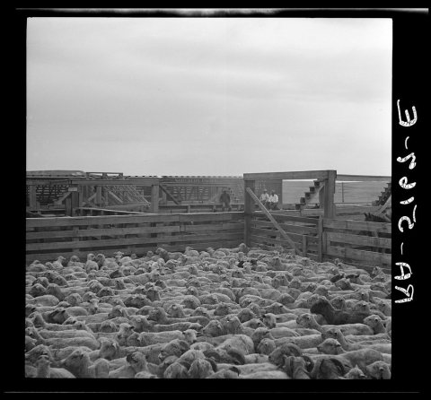 LOCShipping sheep out of drought area. Belfield, North Dakota1936
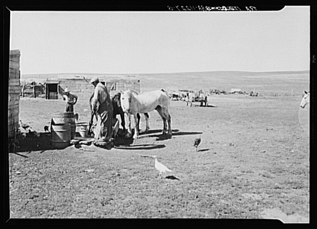
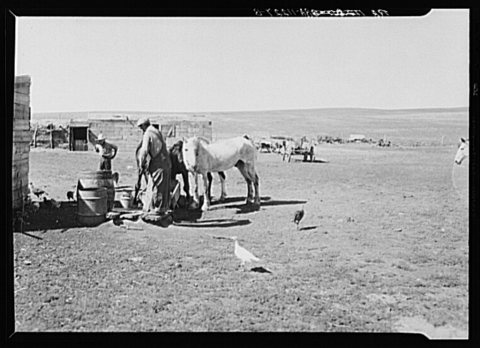 LOCFarmer watering stock thinned by drought. Thirty miles sout…1936
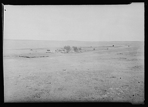 LOCCattle and sheep grazing on land fourteen miles south of Be…1936
1990s
Nothing in Belfield is on the National Register yet
That’s true of most small towns. It doesn’t mean Belfield has no history, only that no one has written up a nomination. The closest listed place is Initial Rock in Medora, 11.6 miles away.
Belfield and the nearest listed places


How a place gets listed
Then & now
No then-and-now pairs yet. Take a photo from the same spot as Sheep in stockyards awaiting shipment. Belfield, North Dakota (1936) and it appears here side by side.
🔁 Retake this view · +15Stories next door
nearby towns’ historyFrom the Library of Congress (6). Images are copied here with their credits and licenses, shown on each photo’s page. Refreshed monthly.