The story
from WikipediaRead it all ↗Archeological evidence shows that Wanchese was the site of the first fishing village on Roanoke Island. Indigenous people inhabited the area 1500 years ago, and their various cultures used this site for fishing for 1100 years. They also collected oysters and shellfish from nearby beds in the Sound.
What is called the Tillett Site (after the last owners) had been occupied originally when it was still part of the mainland, during the entire Archaic Period (8000-1000 BC). After the sea levels rose and it became an island, the saline conditions of the Sound became established, giving rise to the later indigenous fishing culture, including that of the historic Roanoke tribe.
Mount Pleasant component, beginning around 400 and ending around 800;
Text from Wikipedia, licensed CC BY-SA 4.0.
Start Wanchese’s collection
The first neighbors to add old photos shape how Wanchese’s history is told.
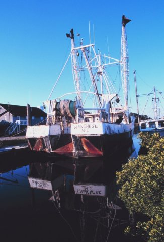
1 of 10 decades since 1900 have photos 🔁Retake an old viewFish0566 - Flickr - NOAA Photo Li…, 1997: stand where they stood+15 📦Share a family photoSign in to add one+10Famous people close to Wanchese
See all 9 →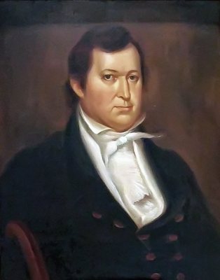


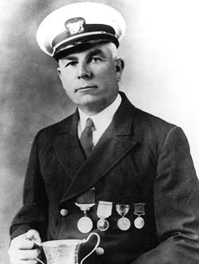
Wanchese, decade by decade
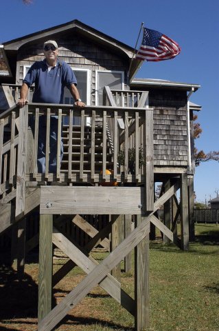 CommonsFEMA - 8866 - Photograph by Cynthia Hunter taken on 10-15-2…2003
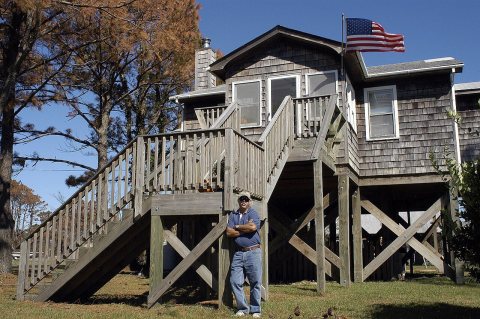 CommonsFEMA - 8865 - Photograph by Cynthia Hunter taken on 10-15-2…2003
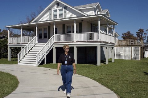 CommonsFEMA - 8864 - Photograph by Cynthia Hunter taken on 10-15-2…2003
 CommonsFEMA - 8863 - Photograph by Cynthia Hunter taken on 10-15-2…2003
 CommonsFEMA - 8862 - Photograph by Cynthia Hunter taken on 10-15-2…2003
Then & now
When neighbors add old photos, retakes from the same spot appear here side by side.
Stories next door
nearby towns’ historyFrom Wikimedia Commons (6). Images are copied here with their credits and licenses, shown on each photo’s page. Refreshed monthly.