The story
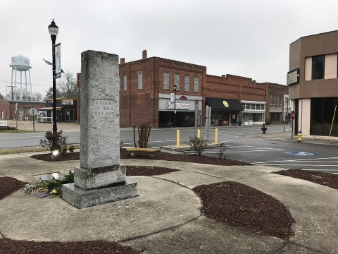
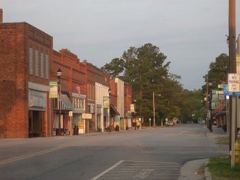
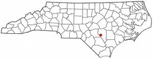
from WikipediaRead it all ↗Roseboro was founded when the Cape Fear and Yadkin Valley Railway built a line from Fayetteville to Wilmington, and it joined Stedman, Autryville, Garland, Kerr Station and several other communities that sprang to life when depots were built and commerce came into being. The railroad was built in 1889-1890.
Text from Wikipedia, licensed CC BY-SA 4.0.
Be one of the first
Start Roseboro’s collection
The first neighbors to add old photos shape how Roseboro’s history is told.
0 of 10 decades since 1900 have photos 📦Share a family photoSign in to add one+10By decade
Roseboro, decade by decade
Before
2000
2000
No old photos in the archives yetWeddings on Main Street, storms, parades, school pictures, the old store. If it’s in your family album, it belongs here.
📷 Add from your album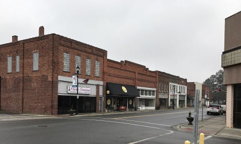
Then & now
When neighbors add old photos, retakes from the same spot appear here side by side.
Historic places
National Register · via WikidataFrom Wikimedia Commons (4) and the National Register (2). Images are copied here with their credits and licenses, shown on each photo’s page. Refreshed monthly.