The story
from WikipediaRead it all ↗Fletcher was first settled in 1795 when Samuel Murray decided to move his family to the mountains of western North Carolina. His family made the difficult journey from South Carolina up the old Howard Gap Road which, in areas, was little more than an old Indian trail. Samuel decided he wanted to live just east of the location where Howard Gap Road ended which is very close to where Fletcher Community Park is located today. Murray began buying property in what was then the Limestone District of Buncombe County. Eventually he purchased more than 10,000 acres bounded roughly by Cane Creek to the south, the French Broad River to the west, Long Shoals Road to the north and Hooper's Creek and Burney Mountain to the East. In 1827, Samuel's son opened the first post office in the Limestone District and the area became known as Murrayville.
Text from Wikipedia, licensed CC BY-SA 4.0.
Start Fletcher’s collection
The first neighbors to add old photos shape how Fletcher’s history is told.
0 of 10 decades since 1900 have photos 📦Share a family photoSign in to add one+10Famous people from Fletcher
See all 2 →
Fletcher, decade by decade
2000

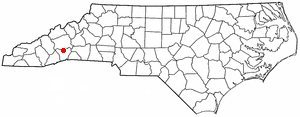
1 historic place in Fletcher
1 place in Fletcher is on the National Register of Historic Places, the country’s official list of buildings and places worth saving.
Where they are
When they were listed
Then & now
When neighbors add old photos, retakes from the same spot appear here side by side.
Stories next door
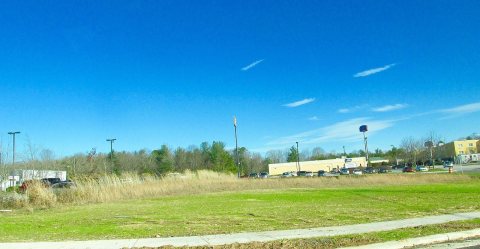
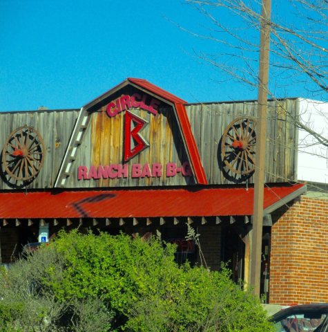
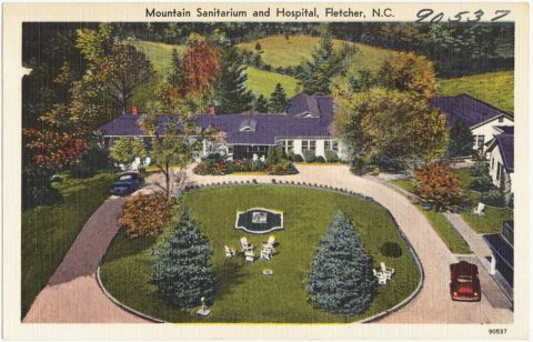
nearby towns’ historyFrom Wikimedia Commons (6). Images are copied here with their credits and licenses, shown on each photo’s page. Refreshed monthly.