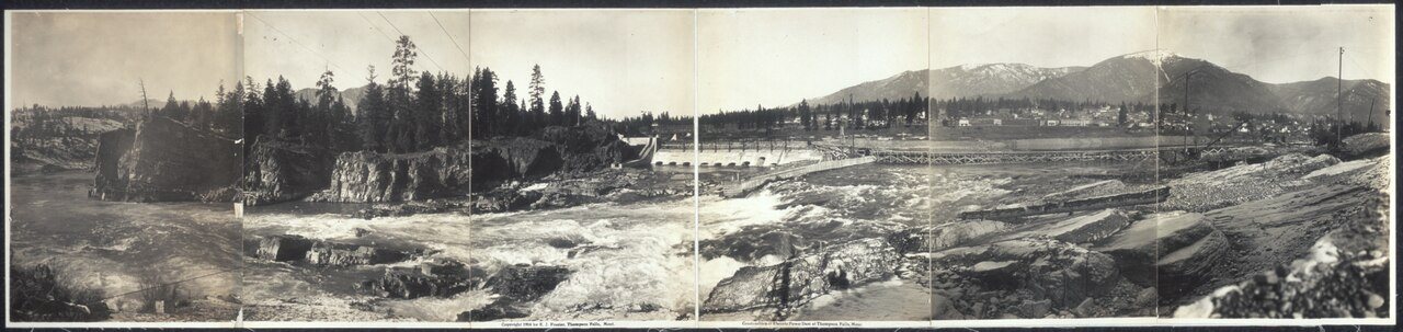
Thompson Falls’s history is
mostly unwritten
The public archives hold only 2 old photos of Thompson Falls. The rest are in attics, shoeboxes and the historical society. Help start the collection.
The story
from WikipediaRead it all ↗Thompson Falls was named after British explorer, geographer and fur trader David Thompson, who founded a North West Company fur trading post called Saleesh House in 1809. The community is located next to natural waterfalls on the Clark Fork river.
The settlement of the Oregon Boundary Dispute in 1846, ended joint occupancy with Britain and established the border with British North America and made the region firmly American. The arrival of the railroad in 1881 brought activity to the area. Two years later, when the gold rush hit nearby Cœur d'Alene, the town grew to accommodate the men going over the Murray Trail to the mines. In 1885 John Russell bought 40 acres (160,000 m2) and plotted the town site.
Text from Wikipedia, licensed CC BY-SA 4.0.
Timeline
built from the dates on the items belowStart Thompson Falls’s collection
The first neighbors to add old photos shape how Thompson Falls’s history is told.
1 of 10 decades since 1900 have photos 🔁Retake an old viewConstruction of electric power da…, 1914: stand where they stood+15 📦Share a family photoSign in to add one+10Thompson Falls, decade by decade
1990s
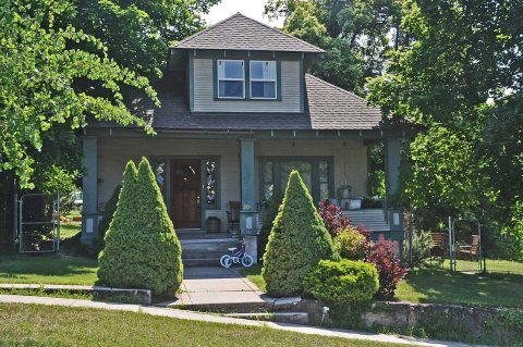
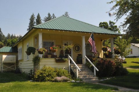
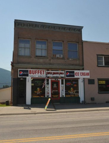
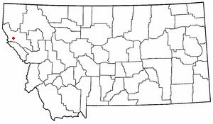
19 historic places in Thompson Falls
19 places in Thompson Falls are on the National Register of Historic Places, the country’s official list of buildings and places worth saving.
Where they are
When they were listed
Then & now
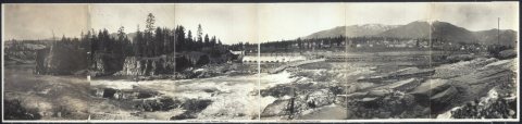
No then-and-now pairs yet. Take a photo from the same spot as Construction of electric power dam at Thompson Falls, Mont (1914) and it appears here side by side.
🔁 Retake this view · +15From Wikimedia Commons (6). Images are copied here with their credits and licenses, shown on each photo’s page. Refreshed monthly.