Missoula’s history is
mostly unwritten
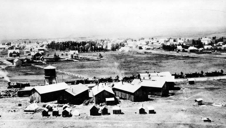
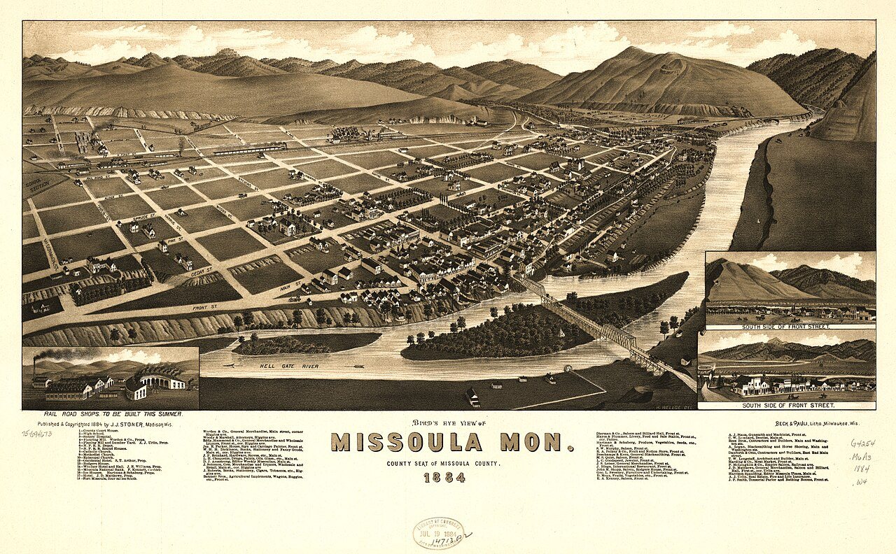
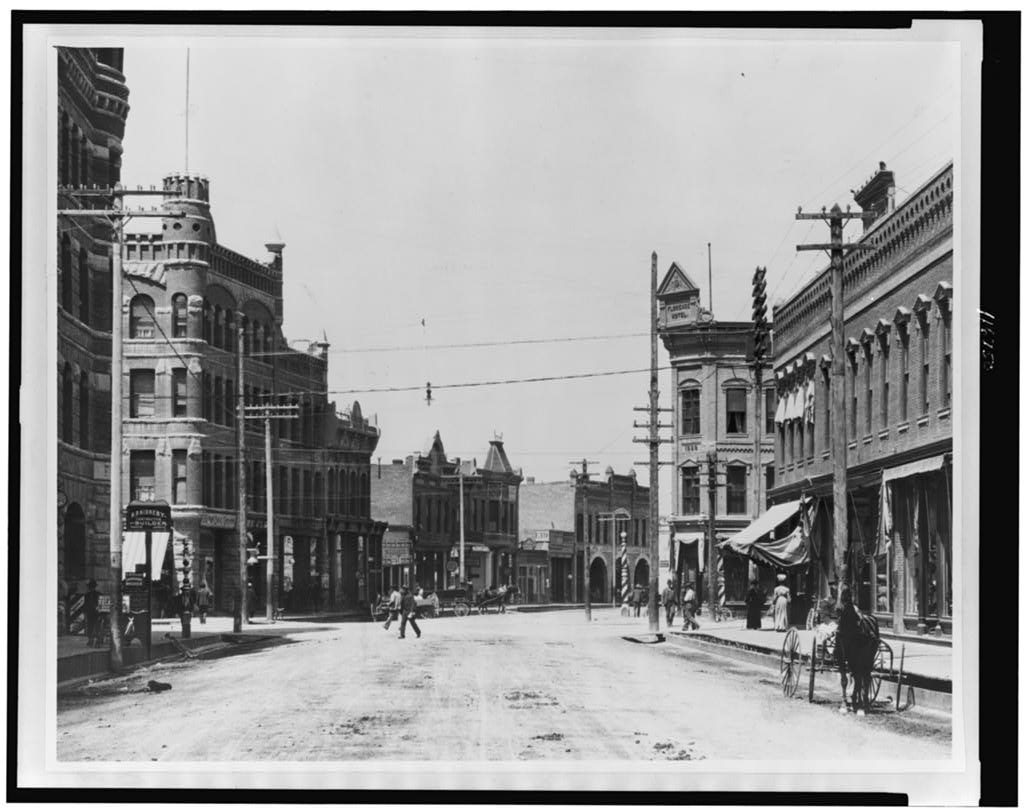
The public archives hold only 4 old photos of Missoula. The rest are in attics, shoeboxes and the historical society. Help start the collection.
The story
from WikipediaRead it all ↗Archaeological artifacts date the earliest inhabitants of the Missoula Valley to 12,000 years ago, with settlements as early as 3500 BCE. From the 1700s until the 1850s, those who used the land were primarily the Salish, Kootenai, Pend d'Oreille, Blackfeet, and Shoshone people. Located at the confluence of five mountain valleys, the Missoula Valley was heavily traversed by local and distant native tribes that periodically went to the Eastern Montana plains in search of bison. This led to conflicts. The narrow valley at Missoula's eastern entrance was so strewn with human bones from repeated ambushes that French fur trappers later referred to this area as Porte de l'Enfer, translated as "Gate of Hell". Hell Gate would remain the name of the area until it was renamed "Missoula" in 1866.
Text from Wikipedia, licensed CC BY-SA 4.0.
Timeline
built from the dates on the items belowStart Missoula’s collection
The first neighbors to add old photos shape how Missoula’s history is told.
1 of 10 decades since 1900 have photos 🔁Retake an old viewChicago, Milwaukee and St. Paul R…, c. 1883: stand where they stood+15 📦Share a family photoSign in to add one+10Famous people from Missoula
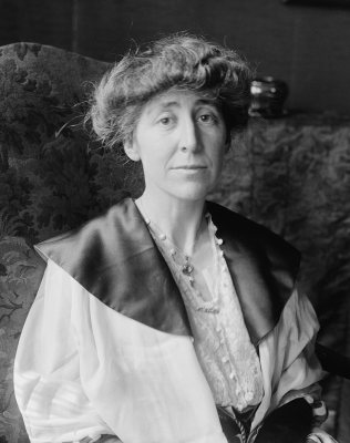
See all 71 →



Missoula, decade by decade
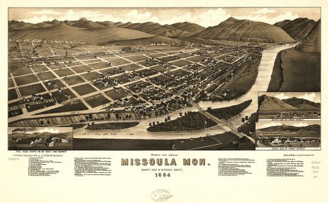
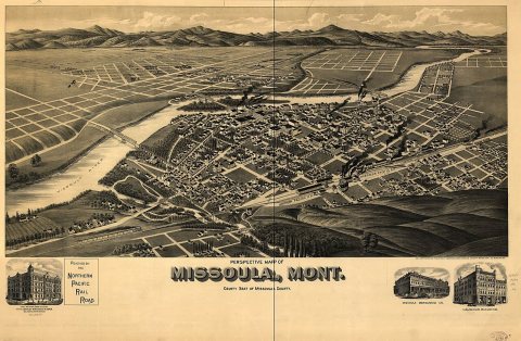
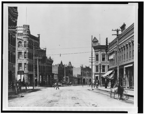
1990s
Then & now
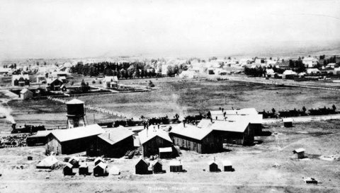
No then-and-now pairs yet. Take a photo from the same spot as Chicago, Milwaukee and St. Paul Railway car with passengers, probably 1883 (c. 1883) and it appears here side by side.
🔁 Retake this view · +15Historic places
National Register · via Wikidata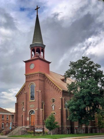
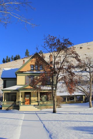
From Wikimedia Commons (3), the Library of Congress (1) and the National Register (2). Images are copied here with their credits and licenses, shown on each photo’s page. Refreshed monthly.