The story
from WikipediaRead it all ↗Lockwood bordered the Crow Indian Reservation, which was created in the 1800s. The community was named after Captain Lockwood, reputed to have many victories fighting Native Americans and to have been a surveyor for the government who camped in the foothills in the late 1800s. In 1907, settlers opened a public road through Lockwood Flats of heavy loam to the second crossing of Dry Creek, to the Dry Creek Road traversing to the Reservation. The old Native American supply road is still etched into the side of the hill at the south end of Exxon Road which was later called Peter Hoe Road.
Text from Wikipedia, licensed CC BY-SA 4.0.
Start Lockwood’s collection
The first neighbors to add old photos shape how Lockwood’s history is told.
0 of 10 decades since 1900 have photos 📦Share a family photoSign in to add one+10Lockwood, decade by decade
2000
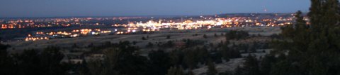
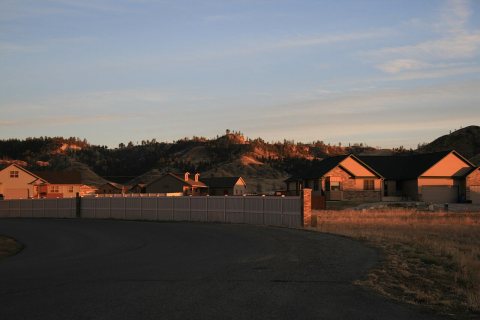
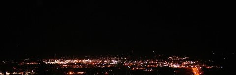
Then & now
When neighbors add old photos, retakes from the same spot appear here side by side.
Stories next door
nearby towns’ historyFrom Wikimedia Commons (4). Images are copied here with their credits and licenses, shown on each photo’s page. Refreshed monthly.