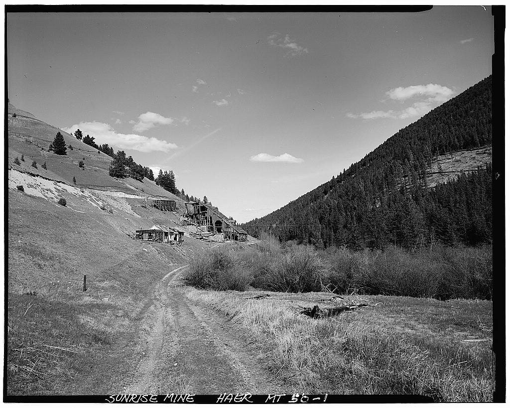
Hall’s history is
mostly unwritten
The public archives hold only 2 old photos of Hall. The rest are in attics, shoeboxes and the historical society. Help start the collection.
The story so far
from Wikipedia & the U.S. CensusHall is an unincorporated community in Granite County, Montana, United States. Hall is located on Montana Highway 1, 6.2 miles (10.0 km) west-southwest of Drummond. The community has a post office with ZIP code 59837. As of the 2020 census, Hall had a population of 51. Originally called Hall's Crossing, the Northern Pacific Railroad constructed a branch line across this land in 1877.
Half of its homes were built before 1967.
Wikipedia doesn’t have a history of Hall yet — the old photos, dates and memories neighbors add here are how it gets written.
Intro from Wikipedia, licensed CC BY-SA 4.0. Population and housing: U.S. Census Bureau.
Start Hall’s collection
The first neighbors to add old photos shape how Hall’s history is told.
0 of 10 decades since 1900 have photos 🗓️Date a photo2 archive items have no date+2 🔁Retake an old viewSunrise Mine: stand where they stood+15 📦Share a family photoSign in to add one+10Hall, decade by decade
2000
unknown2 items
Then & now
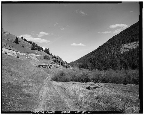
No then-and-now pairs yet. Take a photo from the same spot as Sunrise Mine and it appears here side by side.
🔁 Retake this view · +15Stories next door
nearby towns’ historyFrom the Library of Congress (2). Images are copied here with their credits and licenses, shown on each photo’s page. Refreshed monthly.