Satartia’s history is
mostly unwritten
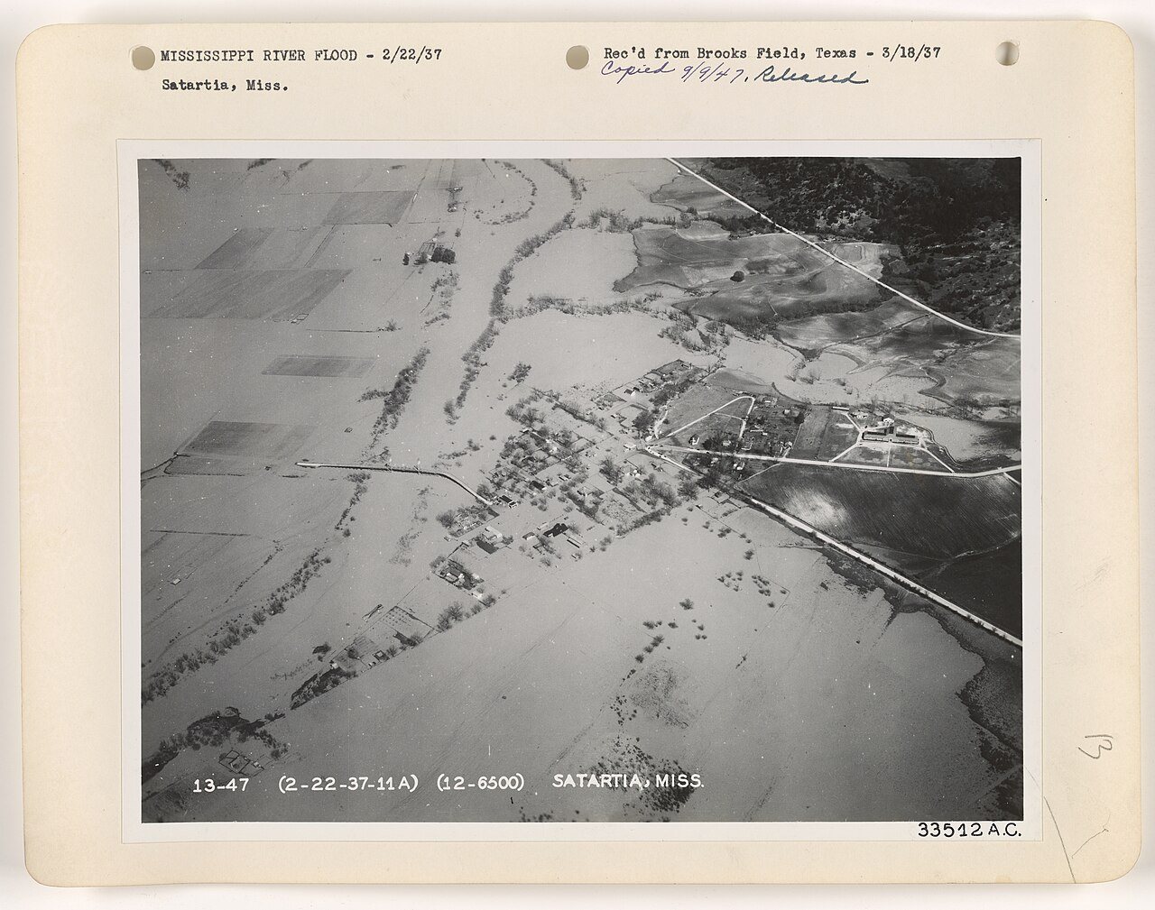
The public archives hold just one old photo of Satartia. The rest are in attics, shoeboxes and the historical society. Help start the collection.
The story
from WikipediaRead it all ↗Satartia is a Choctaw word meaning "pumpkin place", likely due to the small gourds that grow in the area. In the early 1800s, Satartia was a busy shipping point from which cotton was transported by steamboat to New Orleans along the Yazoo River.
During the Civil War, General Grant sailed a gunboat from Vicksburg and captured the village; the Wilson House on Plum Street was used as his headquarters during the occupation. The war also produced the "Satartia Rifles", of the 12th Mississippi Infantry Regiment, a well-regarded Confederate company and recruitment group.
Text from Wikipedia, licensed CC BY-SA 4.0.
Timeline
built from the dates on the items belowStart Satartia’s collection
The first neighbors to add old photos shape how Satartia’s history is told.
1 of 10 decades since 1900 have photos 🔁Retake an old viewFloods - Mississippi River Flood, 1927: stand where they stood+15 📦Share a family photoSign in to add one+10Famous people from Satartia
See all 1 →Satartia, decade by decade
1990s
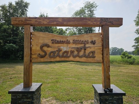


Nothing in Satartia is on the National Register yet
That’s true of most small towns. It doesn’t mean Satartia has no history, only that no one has written up a nomination. The closest listed place is Big John Hart House in Benton, 11.8 miles away.
Satartia and the nearest listed places
Closest to Satartia

How a place gets listed
Then & now
No then-and-now pairs yet. Take a photo from the same spot as Floods - Mississippi River Flood (1927) and it appears here side by side.
🔁 Retake this view · +15Stories next door
nearby towns’ historyFrom Wikimedia Commons (4). Images are copied here with their credits and licenses, shown on each photo’s page. Refreshed monthly.