The story
from WikipediaRead it all ↗The Chickasaw nation occupied this area long before Europeans colonized the Southeast, the last in a succession of indigenous peoples who had this territory for thousands of years. In the early 1830s, they were forced to Indian Territory west of the Mississippi River through the federal program of Indian removal. Pontotoc is a Chickasaw word meaning "Land of Hanging Grapes".
In the late 19th century, outlaws Jesse and Frank James and their gang came into this area. They once hid at an old house that had been used as a Union Army hospital during the Battle of Harrisburg or Battle of Tupelo in the Civil War. The house was located at a crossroad in east Pontotoc County, near the Lee County line.
Text from Wikipedia, licensed CC BY-SA 4.0.
Start Pontotoc’s collection
The first neighbors to add old photos shape how Pontotoc’s history is told.
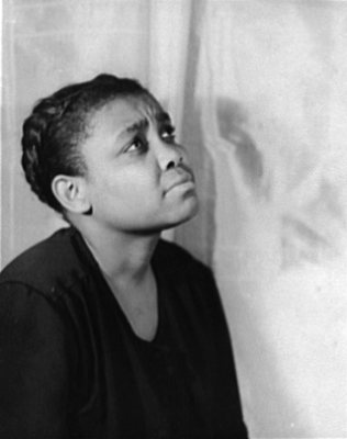
0 of 10 decades since 1900 have photos 📦Share a family photoSign in to add one+10Famous people from Pontotoc
See all 20 →


Pontotoc, decade by decade
2000
 LOCDetail of a sign atop an old gas pump2017
 LOCSign atop an old gas pump2017
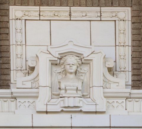 LOCDetail symbolizing blind justice on the Pontotoc County Cou…2017
 LOCA friendly blow-up dragon at a town fair2016
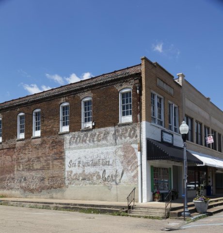 LOCOld advertising sign on building2016
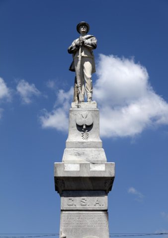 LOCConfederate States of America memorial2016
 CommonsAbandoned gas station2014
2 historic places in Pontotoc
Pontotoc has 2 listings on the National Register, and they protect 53 historic buildings, because Pontotoc Historic District alone counts 52.
Where they are
When they were listed
Then & now
When neighbors add old photos, retakes from the same spot appear here side by side.
Stories next door
nearby towns’ historyFrom Wikimedia Commons (1) and the Library of Congress (6). Images are copied here with their credits and licenses, shown on each photo’s page. Refreshed monthly.