Lula’s history is
mostly unwritten
The public archives hold just one old photo of Lula. The rest are in attics, shoeboxes and the historical society. Help start the collection.
The story
from WikipediaRead it all ↗The town of Lula was chartered by the state of Mississippi on February 24, 1890 and platted a few years prior, when the Louisville, New Orleans, and Texas Railroad built a line through the area in 1884.
On April 26, 2011, a tornado—part of the 2011 Super Outbreak—traveled from Elaine, Arkansas, to Lula. The tornado was rated EF0, with estimated wind speeds of 75 mph (121 km/h; 65 kn). The tornado's path of destruction was 200 yards (180 m) wide and the tornado travelled a path of 21.5 miles (34.6 km) along Highway 61. The tornado ripped the roof off a church near Lula.
Text from Wikipedia, licensed CC BY-SA 4.0.
Timeline
built from the dates on the items belowStart Lula’s collection
The first neighbors to add old photos shape how Lula’s history is told.
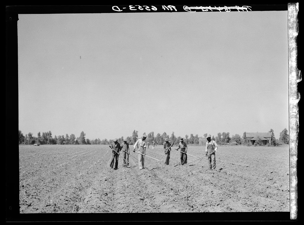
1 of 10 decades since 1900 have photos 🔁Retake an old viewCotton choppers on northwest part…, 1936: stand where they stood+15 📦Share a family photoSign in to add one+10Famous people from Lula
See all 4 →


Lula, decade by decade
1990s
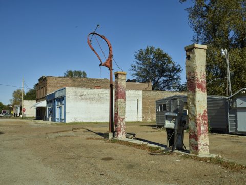 LOCRemains of an old gas station2016
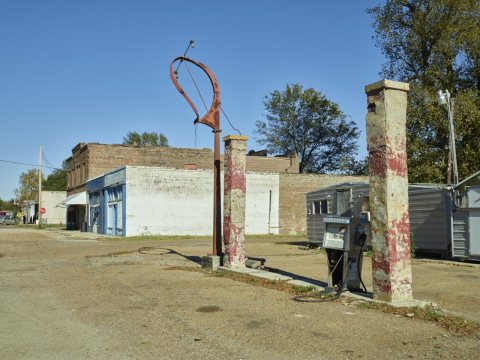 LOCWhat's left of a very old gas station in "downtown" Lula, M…2016
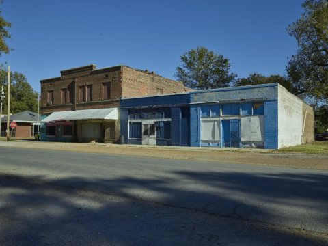 LOCOld commercial buildings2016
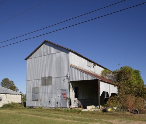 LOCOld cotton gin2016
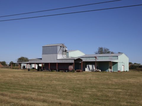 LOCOld cotton gin2016
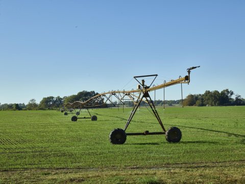 LOCA "crawler" sprinkler in a farm field outside Lula, Mississ…2016
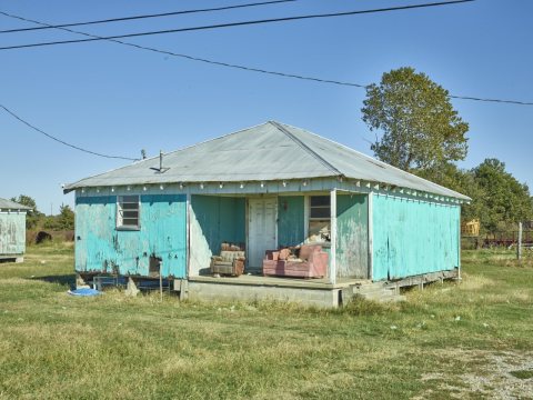 LOCHumble home2016
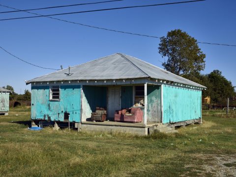 LOCDecrepit house and porch furnishings2016
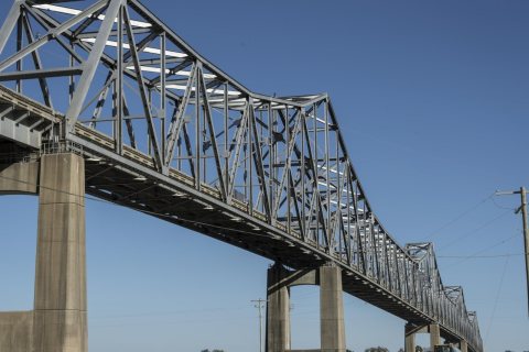 LOCMississippi River bridge between farmland near Lula, Missis…2016
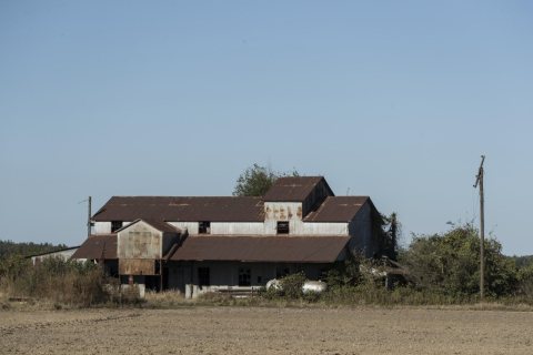 LOCOld cotton gin near Lula, Mississippi2016
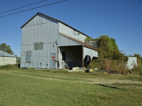 LOCAgricultural sheds2016
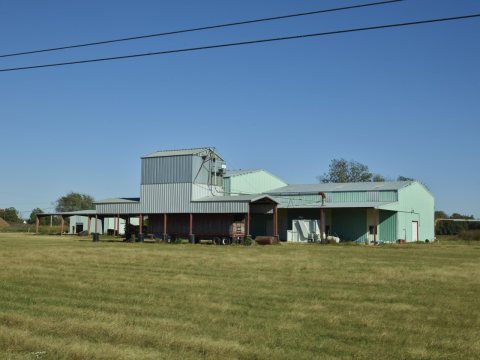 LOCAgricultural sheds2016
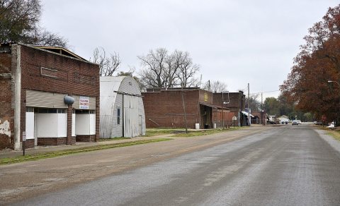 CommonsLula, Mississippi2014
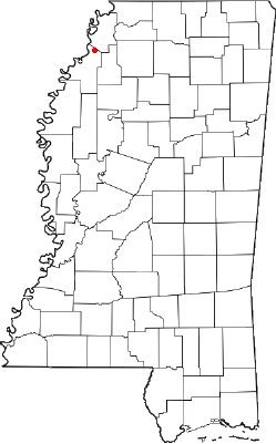 CommonsMSMap-doton-Lula2007
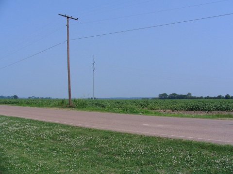 CommonsPlanted field in Lula, Mississippi, on June 2, 20062006
Nothing in Lula is on the National Register yet
That’s true of most small towns. It doesn’t mean Lula has no history, only that no one has written up a nomination. The closest listed place is Yazoo Pass Levee in Lula, 4.2 miles away.
Lula and the nearest listed places
How a place gets listed
Then & now
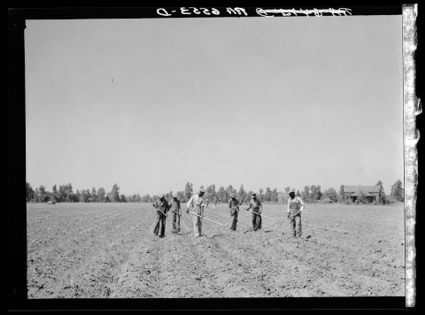
No then-and-now pairs yet. Take a photo from the same spot as Cotton choppers on northwest part of the Mississippi Delta land near Lula, Mississippi (1936) and it appears here side by side.
🔁 Retake this view · +15Stories next door
nearby towns’ historyFrom Wikimedia Commons (3) and the Library of Congress (13). Images are copied here with their credits and licenses, shown on each photo’s page. Refreshed monthly.