A history of Columbus,
then and now
Postcards, papers and photographs of Columbus from public archives, woven together by decade. Neighbors fill in the gaps.
The story
from WikipediaRead it all ↗The first record of the site of Columbus in Western history is found in the annals of the explorer Hernando de Soto, who is reputed to have crossed the nearby Tombigbee River on his search for El Dorado. However, the site does not enter the main continuity of United States history until December 1810, when John Pitchlynn, the U.S. Indian agent and interpreter for the Choctaw Nation, moved to Plymouth Bluff, where he built a home, established a farm, and transacted Choctaw Agency business.
Text from Wikipedia, licensed CC BY-SA 4.0.
Timeline
built from the dates on the items belowFinish Columbus’s story
Most archives stop around 1920. The photos from after that are in family albums, not libraries.
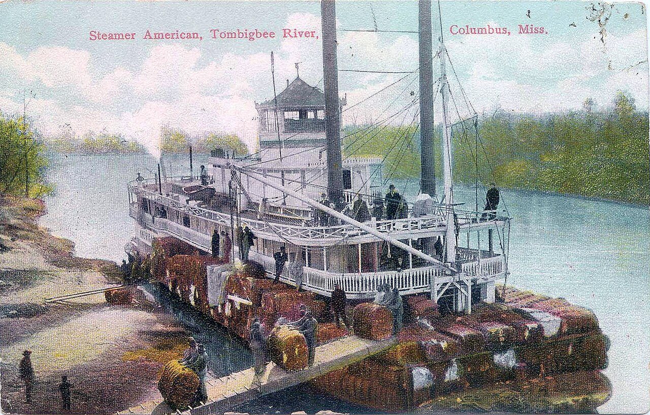
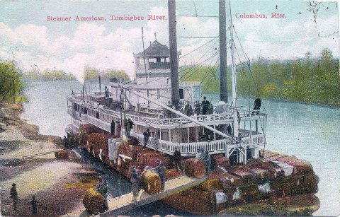
1 of 10 decades since 1900 have photos 🔁Retake an old viewPostcard of Steamer "American" on…, c. 1890: stand where they stood+15 📦Share a family photoSign in to add one+10Famous people from Columbus
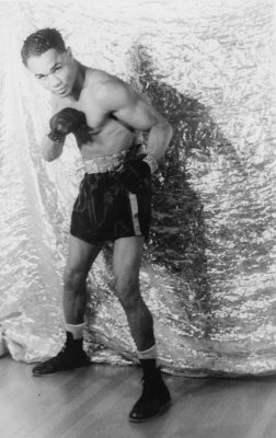
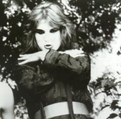
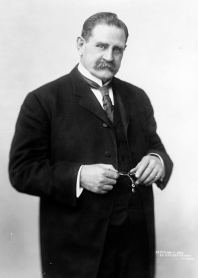
See all 63 →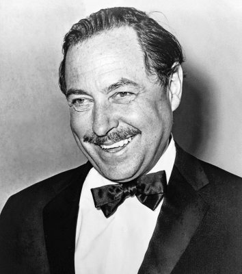

Columbus, decade by decade
1990s
Then & now
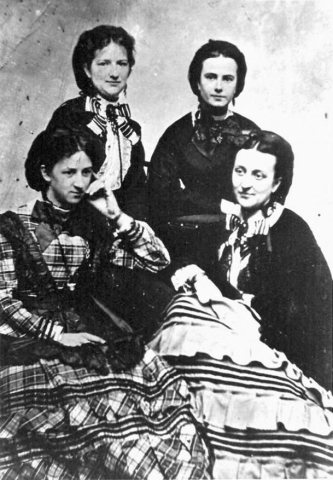
No then-and-now pairs yet. Take a photo from the same spot as Decoration Day Ladies of Mississippi (c. 1866) and it appears here side by side.
🔁 Retake this view · +15
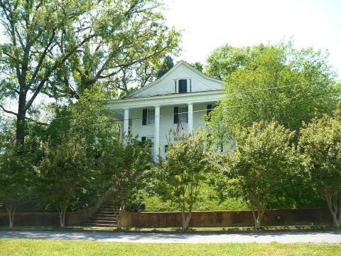
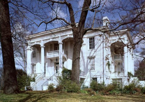
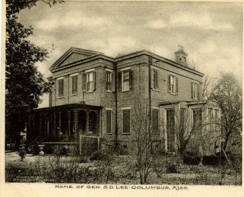
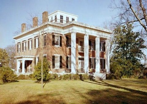
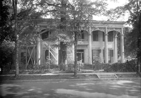
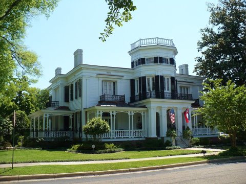
From Wikimedia Commons (5), the Library of Congress (4) and the National Register (9). Images are copied here with their credits and licenses, shown on each photo’s page. Refreshed monthly.