History · Beulah

Beulah’s history is
mostly unwritten

The public archives hold no old photos of Beulah. The rest are in attics, shoeboxes and the historical society. Help start the collection.

0old images & papers
1recent photos

The story

from WikipediaRead it all ↗

The land southwest of Beulah was owned by a Choctaw family in the 1830s. A series of lawsuits caused them to lose their land, and Charles Clark took ownership. Clark established the Doro Plantation during the late 1840s and early 1850s, which grew to over 5,000 acres (2,000 ha) and became the most prosperous slave-owning plantation in the region. It continued to operate after the end of slavery until 1913. During that time, the Mississippi River flowed next to Beulah along "Beulah Bend" (now Lake Beulah), and Clark was often visited by Mark Twain while writing Life on the Mississippi.

Text from Wikipedia, licensed CC BY-SA 4.0.

Be one of the first

Start Beulah’s collection

The first neighbors to add old photos shape how Beulah’s history is told.

0 of 10 decades since 1900 have photos 📦Share a family photoSign in to add one+10

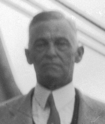
Famous people from Beulah

See all 1 →
By decade

Beulah, decade by decade

Before
2000
No old photos in the archives yetWeddings on Main Street, storms, parades, school pictures, the old store. If it’s in your family album, it belongs here.
📷 Add from your album
National Register of Historic Places

Nothing in Beulah is on the National Register yet

That’s true of most small towns. It doesn’t mean Beulah has no history, only that no one has written up a nomination. The closest listed place is Grace Episcopal Church in Rosedale, 5.3 miles away.

How a place gets listed

1Talk to the stateEvery nomination goes through the State Historic Preservation Office. Owners, towns and historical societies can start one.
2Try a local or state list firstMany states keep their own register with a shorter form, a common first step for old barns, halls and schoolhouses.
3Write it upA nomination covers the history, photos and a map. Grace Episcopal Church’s page links to a real one.
Know an old place in Beulah?A mill, a schoolhouse, a cellar hole, a church: add a photo of it to Beulah’s story, or a memory of it.
📷 Add a photo of an old place
National Park Service, National Register of Historic Places · photos from Wikimedia Commons

Then & now

When neighbors add old photos, retakes from the same spot appear here side by side.

Stories next door

nearby towns’ history

From Wikimedia Commons (1). Images are copied here with their credits and licenses, shown on each photo’s page. Refreshed monthly.

The coffee’s on

Where to, neighbor?

You’re in Beulah, MSView boundary

Nearby

All towns & citiesExplore the map
Loading boundary…

Beulah is your selected town. The feed includes posts assigned to this town, not a distance radius or ZIP code.

Neighborhoods narrow the feed further, while townwide announcements, events, and issues remain visible.

Boundary source: https://tigerweb.geo.census.gov/arcgis/rest/services/TIGERweb/Places_CouSub_ConCity_SubMCD/MapServer/18 · 2025-01-01