The story
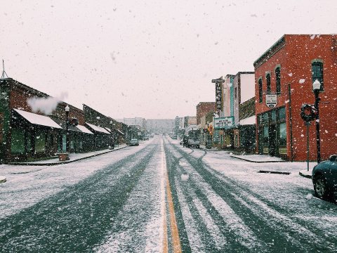
from WikipediaRead it all ↗The history of West Plains can be traced back to 1832, when settler Josiah Howell (after whom Howell County is named) created the first settlement in the region known as Howell Valley. West Plains was so named because the settlement was on a prairie to the west of the nearest town, Thomasville.
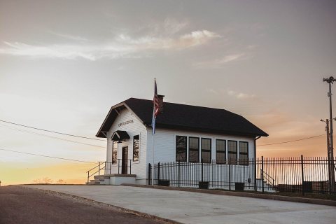
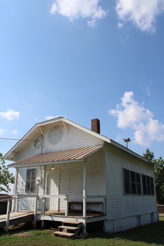
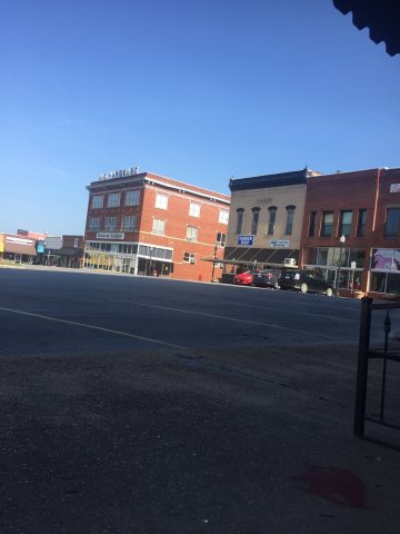
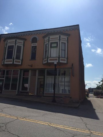
The Courthouse Square Historic District, Elledge Arcade Buildings, International Shoe Company Building, Mount Zion Lodge Masonic Temple, W. J. and Ed Smith Building, West Plains Bank Building, and the Lincoln School are listed on the National Register of Historic Places.
Text from Wikipedia, licensed CC BY-SA 4.0.
Start West Plains’s collection
The first neighbors to add old photos shape how West Plains’s history is told.
0 of 10 decades since 1900 have photos 📦Share a family photoSign in to add one+10Famous people from West Plains
See all 12 →West Plains, decade by decade
2000
7 historic places in West Plains
West Plains has 7 listings on the National Register, and they protect 53 historic buildings, because Courthouse Square Historic District alone counts 46.
Where they are
Architectural styles
When they were listed
 Listed 2003Courthouse Square Historic DistrictListed 2001Elledge Arcade BuildingsListed 2001W.J. and Ed Smith BuildingListed 2001West Plains Bank BuildingListed 2011Mount Zion Lodge Masonic TempleListed 2011International Shoe Company BuildingListed 2025Lincoln School
Then & now
When neighbors add old photos, retakes from the same spot appear here side by side.
Stories next door
nearby towns’ historyFrom Wikimedia Commons (6). Images are copied here with their credits and licenses, shown on each photo’s page. Refreshed monthly.