Van Buren’s history is
mostly unwritten
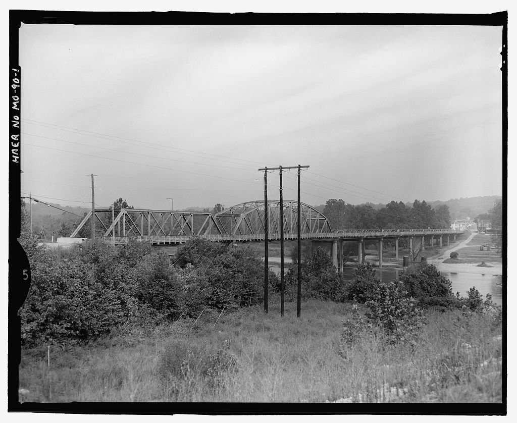
The public archives hold just one old photo of Van Buren. The rest are in attics, shoeboxes and the historical society. Help start the collection.
The story
from WikipediaRead it all ↗In 1833, a commission appointed to choose a site for the county seat of Ripley County selected a site one-half mile (0.8 km) west and across Current River from the present location of Van Buren. They named the new county seat Van Buren after the then Vice President of the United States, Martin Van Buren. A courthouse was built and a small city grew up around it. The city had one small general merchandise store run by a man named Shaw and a water powered grist mill owned by John George.
Van Buren remained the county seat of Ripley County until 1847, when the county seat was moved south to the town of Doniphan. After removing the county seat to Doniphan, the town declined until only three or four families remained.
Text from Wikipedia, licensed CC BY-SA 4.0.
Start Van Buren’s collection
The first neighbors to add old photos shape how Van Buren’s history is told.
0 of 10 decades since 1900 have photos 🗓️Date a photo1 archive item has no date+2 🔁Retake an old viewVan Buren Bridge, Spanning Curren…: stand where they stood+15 📦Share a family photoSign in to add one+10Van Buren, decade by decade
2000
unknown1 item
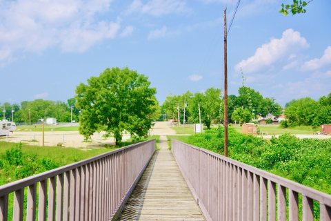
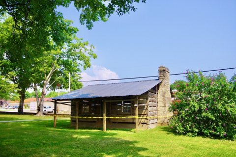
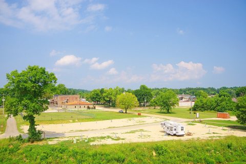
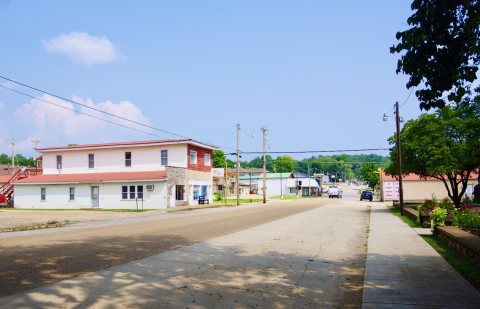
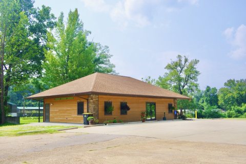
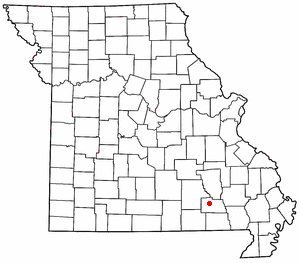
1 historic place in Van Buren
1 place in Van Buren is on the National Register of Historic Places, the country’s official list of buildings and places worth saving.
Where they are
When they were listed
Then & now
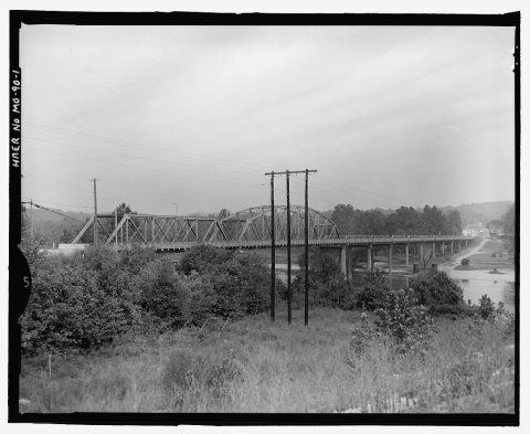
No then-and-now pairs yet. Take a photo from the same spot as Van Buren Bridge, Spanning Current River at US Route 60 and it appears here side by side.
🔁 Retake this view · +15Stories next door
nearby towns’ historyFrom Wikimedia Commons (6) and the Library of Congress (1). Images are copied here with their credits and licenses, shown on each photo’s page. Refreshed monthly.