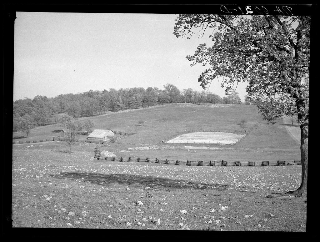
A history of Salem,
then and now
Postcards, papers and photographs of Salem from public archives, woven together by decade. Neighbors fill in the gaps.
The story so far
from Wikipedia & the U.S. CensusSalem Township is a township in Dunklin County, in the U.S. state of Missouri. Salem Township was established in 1845, and most likely was named after Salem, Massachusetts. The two biggest cities in the township are Senath and Arbyrd.
Between the 2010 and 2020 censuses its population fell from 2,932 to 2,488 (-15%). Half of its homes were built before 1973.
Wikipedia doesn’t have a history of Salem yet — the old photos, dates and memories neighbors add here are how it gets written.
Intro from Wikipedia, licensed CC BY-SA 4.0. Population and housing: U.S. Census Bureau.
Timeline
built from the dates on the items belowFinish Salem’s story
Most archives stop around 1920. The photos from after that are in family albums, not libraries.
1 of 10 decades since 1900 have photos 🔁Retake an old viewHowes Mill. Near Meramoc Forest p…, 1936: stand where they stood+15 📦Share a family photoSign in to add one+10Salem, decade by decade
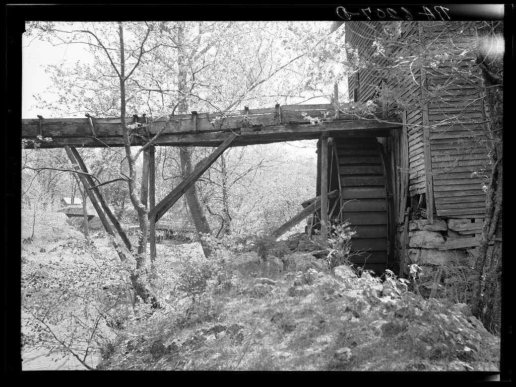
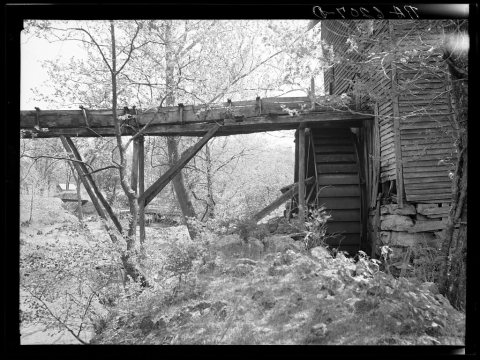 LOCHowes Mill. Near Meramoc Forest project area. Salem, Missou…1936
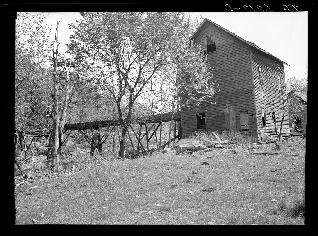
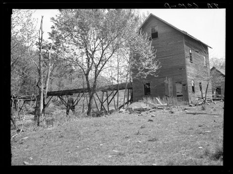 LOCHowes Mill. Near Meramoc Forest project area. Salem, Missou…1936
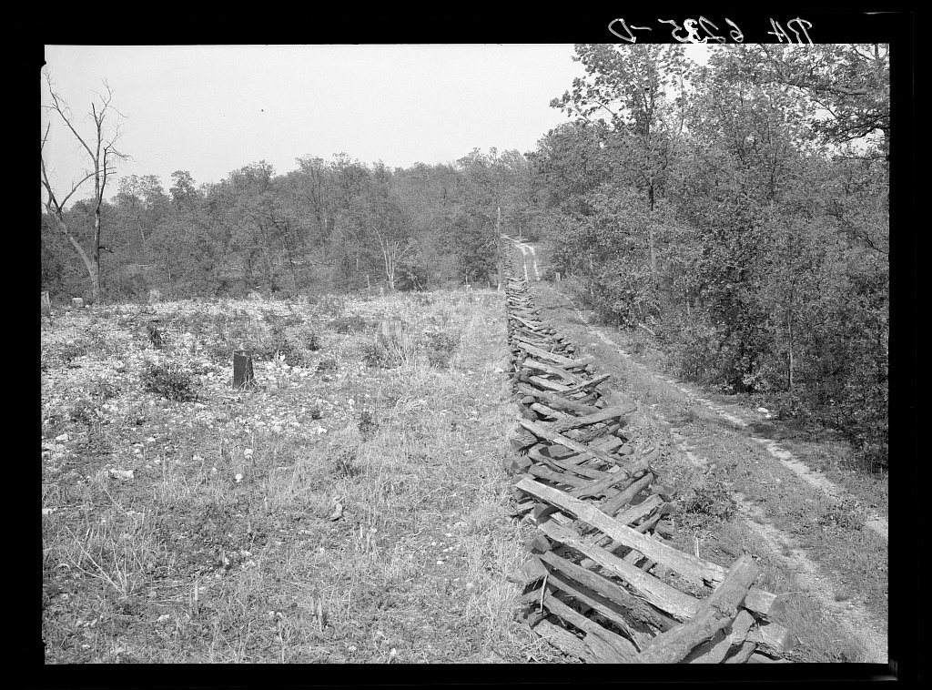
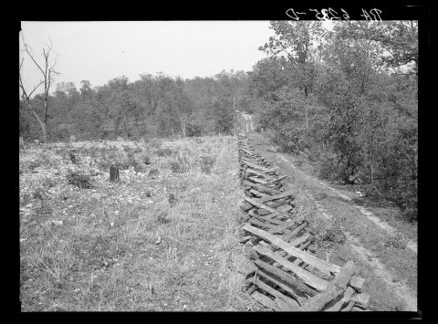 LOCRail fence and cut-over country. Meramec Forest area. Salem…1936
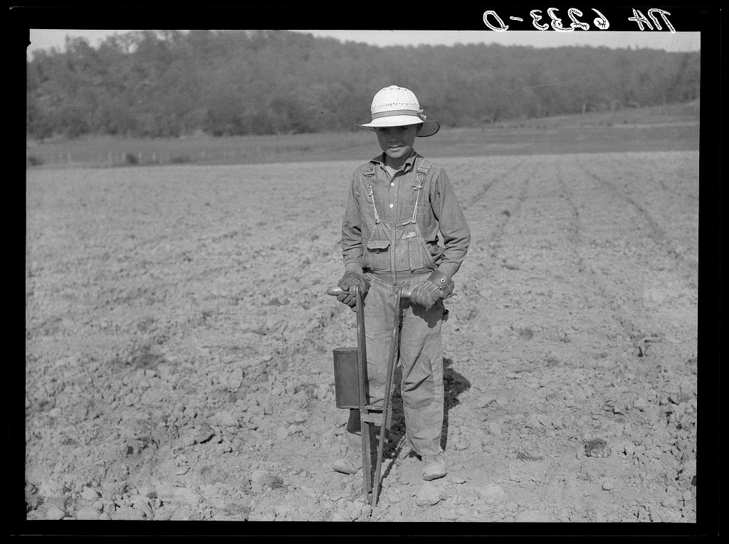
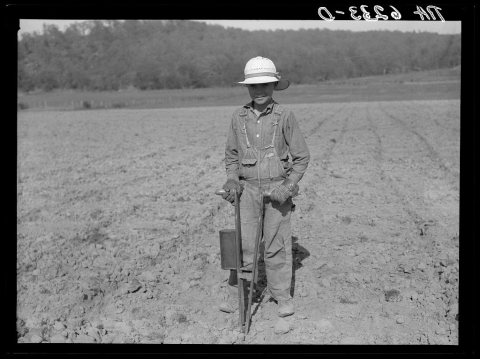 LOCPlanting corn with hand corn planter in Meremac Forest proj…1936
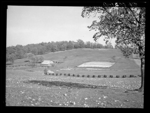 LOCCut-over bottom land badly eroded through faulty drainage. …1936
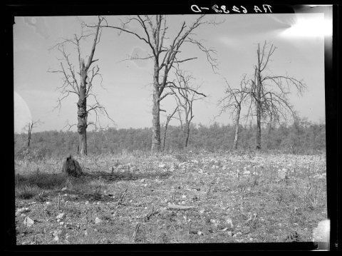 LOCTypical Ozark backwoods scene, a corn patch in rocky soil. …1936
1990s
Then & now
No then-and-now pairs yet. Take a photo from the same spot as Howes Mill. Near Meramoc Forest project area. Salem, Missouri (1936) and it appears here side by side.
🔁 Retake this view · +15Stories next door
nearby towns’ historyFrom the Library of Congress (6). Images are copied here with their credits and licenses, shown on each photo’s page. Refreshed monthly.