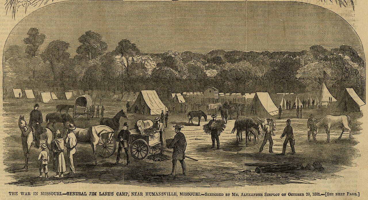
Humansville’s history is
mostly unwritten
The public archives hold just one old photo of Humansville. The rest are in attics, shoeboxes and the historical society. Help start the collection.
The story
from WikipediaRead it all ↗Humansville was named after an American settler James Human who settled in the area in 1834. A post office called Humansville has been in operation since 1839.
During the Civil War, a skirmish was fought on the town's outskirts on March 26, 1862, in which approximately 300 to 400 Missouri Confederates under Col. James M. Frazier of Cedar County clashed with two companies of pro-Union Missouri State Militia. Casualties were few, but Col. Frazier was himself mortally wounded, which caused the Confederates to retreat.
The George Dimmitt Memorial Hospital was listed on the National Register of Historic Places in 2012.
Text from Wikipedia, licensed CC BY-SA 4.0.
Start Humansville’s collection
The first neighbors to add old photos shape how Humansville’s history is told.
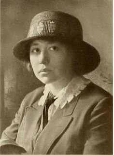
0 of 10 decades since 1900 have photos 🔁Retake an old view"The War in Missouri - General Ji…, 1861: stand where they stood+15 📦Share a family photoSign in to add one+10Famous people from Humansville
See all 3 →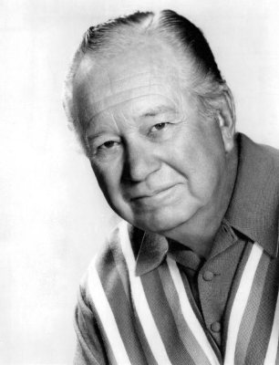

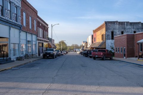
Humansville, decade by decade
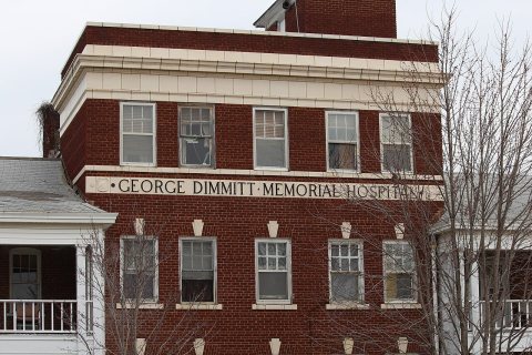
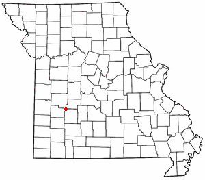
1 historic place in Humansville
1 place in Humansville is on the National Register of Historic Places, the country’s official list of buildings and places worth saving.
Where they are
When they were listed
Then & now
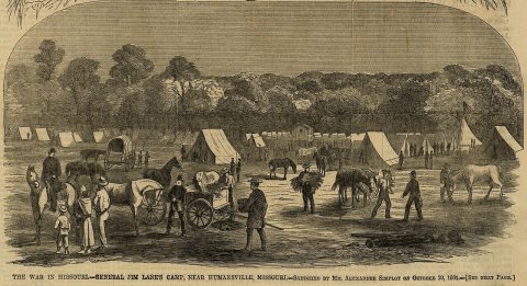
No then-and-now pairs yet. Take a photo from the same spot as "The War in Missouri - General Jim Lane's Camp, Near Humansville, Missouri." (1861) and it appears here side by side.
🔁 Retake this view · +15Stories next door
nearby towns’ historyFrom Wikimedia Commons (4). Images are copied here with their credits and licenses, shown on each photo’s page. Refreshed monthly.