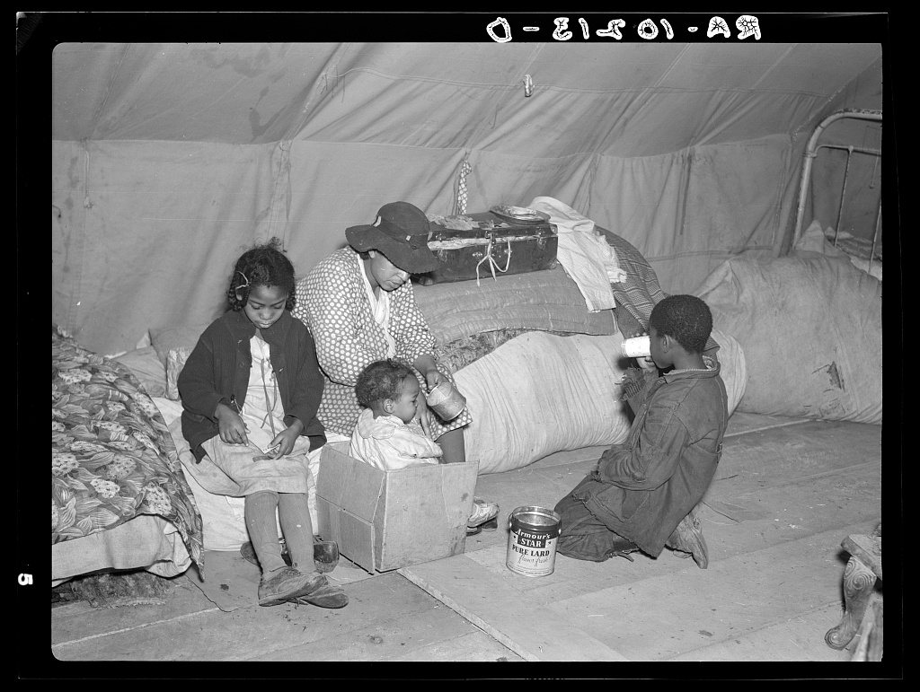
Charleston’s history is
mostly unwritten
The public archives hold only 2 old photos of Charleston. The rest are in attics, shoeboxes and the historical society. Help start the collection.
The story
from WikipediaRead it all ↗Charleston is the largest town on the Missouri side near the confluence of the Mississippi and Ohio rivers. Its history has long been tied to river commerce and the development of the highly productive agricultural lands that surround the community.
Settlement initially occurred on the north side of town, in what in 1805 was called "Matthews Prairie".
After purchasing 22.5 acres (91,000 m2) for $337, Joseph Moore laid out Charleston in 1837. Some say the community derives its name from nearby Charles Prairie, while others believe the name is a transfer from Charleston, South Carolina. In 1845, it was selected as the county seat. A post office in Charleston has been in operation since 1847.
Text from Wikipedia, licensed CC BY-SA 4.0.
Timeline
built from the dates on the items belowStart Charleston’s collection
The first neighbors to add old photos shape how Charleston’s history is told.
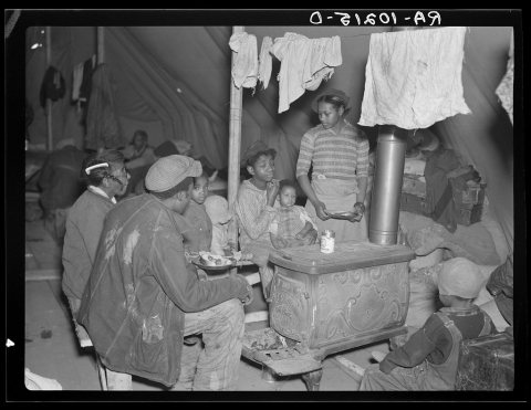
1 of 10 decades since 1900 have photos 🔁Retake an old viewFlood refugees at mealtime. Near …, 1937: stand where they stood+15 📦Share a family photoSign in to add one+10Famous people from Charleston
See all 15 →
Charleston, decade by decade
1990s
Then & now
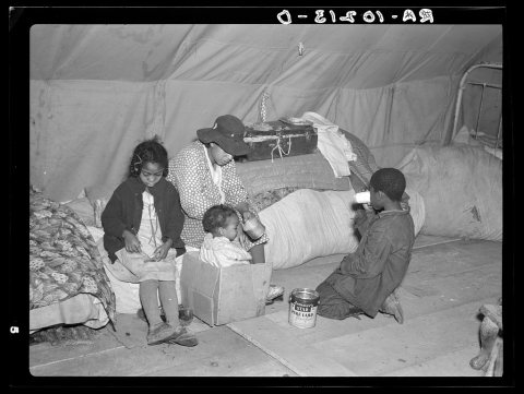
No then-and-now pairs yet. Take a photo from the same spot as Flood refugees at mealtime. Near Charleston, Missouri (1937) and it appears here side by side.
🔁 Retake this view · +15Stories next door
nearby towns’ historyFrom Wikimedia Commons (4) and the Library of Congress (2). Images are copied here with their credits and licenses, shown on each photo’s page. Refreshed monthly.