Sign inJoin
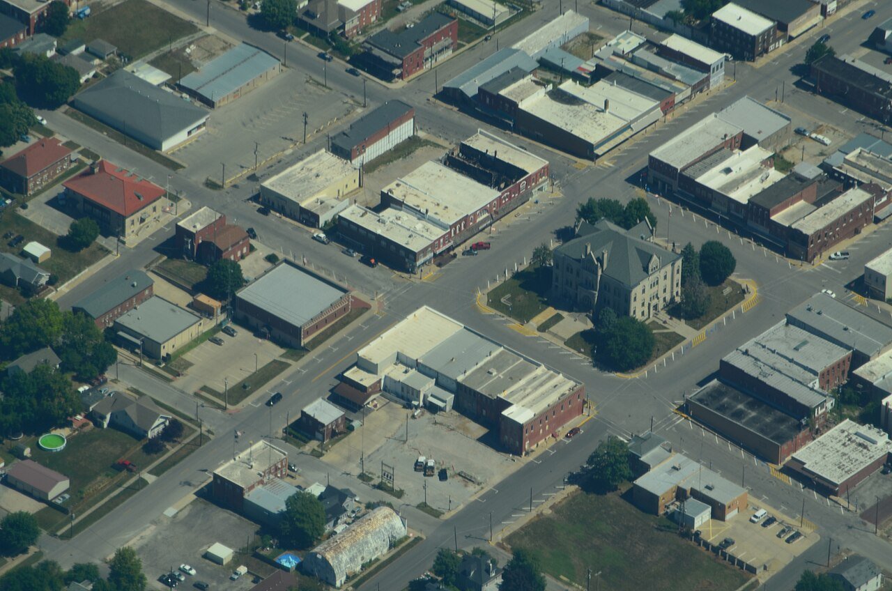
Aerial view of Carrollton, Missouri - 9-2-2013

CarrolltonMO

A town of 3,145, settled in 1833. Nearly 1.4% of it is conserved land.

Photo: Ichabod · CC BY-SA 3.0
Population
3,145
−7.1% since 2010
Median home value
$110K
Census ACS
Household income
$50K
median
Median age
35.7
years
Jobs based here
1,523
Balanced

What makes Carrollton stand out

The 3 things Carrollton does most differently from other towns.

Picked automatically from the data
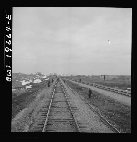
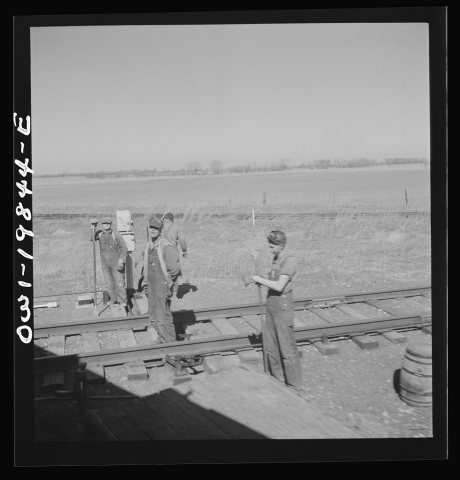
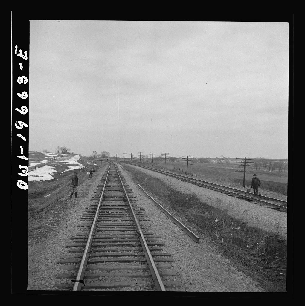
Untitled photo, possibly related to: Carrollton (vicinity), Missouri. A section gang at work along the Atchison, Topeka…1943
From the archive · today’s picture

83 years ago in Carrollton

Untitled photo, possibly related to: Carrollton (vicinity), Missouri. A section gang at work along the Atchison, Topeka…

Photo · Library of Congress. A different picture from Carrollton’s archive appears here every day.

See all 12 archive items →

Carrollton’s report card

See the data ↓

Now in Carrollton

Be the first to start the conversation.

Be the first neighbor to joinJoin Carrollton →
Residents weigh in
Carrollton is #220 of 220 in MO for “Fastest-rising home prices”. Fair?
Your answer becomes a post in Carrollton’s Town Square.
Start a conversation

The data

Ordered by what stands out in Carrollton. Another town gets a different order.

Work & commute

About one in three working residents works right in Carrollton

About one in 3 of Carrollton’s working residents works in town. The top destinations are Kansas City (6%), Marshall (4%) and Chillicothe (4%). Half commute less than 23 miles.

39%work in town

Where working residents work

In Carrollton39%
Kansas City6%
Marshall4%
Chillicothe4%
Carrollton3%
23 mi
median commute distance
1,523
jobs based in Carrollton
Balanced
jobs vs. working residents
Census LEHD 2023 · ACSCommute map →
Outdoors

1.4% of Carrollton is conserved land

4.6 miles of trails across 7 parks and preserves.

#20for trails in MO
Map of Carrollton: conserved land, trails and the top places to walk
Green: conserved land · dashed: trails · numbers: the places below
1.4%
conserved · 37 of 2,660 acres
4.6 mi
of trails · 1.1 per sq mi
#104
most walkable in MO
Biggest places to walkTrailsAcres
1. Carrollton Recerational Park1.4 mi40
2. Walnut hills park0.1 mi68
3. Communal park—10
Trails & parks © OpenStreetMap contributors · Conserved land: USGS PAD-USParks & trails →
Health

Healthier than 14% of U.S. towns

Carrollton beats the Missouri average on 1 of 32 CDC measures and trails it on 10.

DHealth Grade
32 measures vs. Missouri
1 better21 too close to call10 worse
What stands outCarrolltonMO
More adults treating high blood pressure80.1%77.2%
More adults with COPD11.2%8%
Carroll County Memorial Hospital
0.8 mi away · emergency room
3 of 3
care shortages: primary care, dental, mental health
35th
percentile among MO towns
CDC PLACES 2025 · modeled estimates for adults · CMS · HRSAFull health report →
Natural hazards

Low risk, with inland flooding at the top

Expected storm and flood damage is higher than in 32% of U.S. communities.

32risk score of 100
FEMA risk score
32Low riskLowerHigher
Inland floodingTornadoesCold waves
71
paid flood claims since 1981
6
federal disasters paid out here
FEMA National Risk Index · OpenFEMANatural hazards →
Climate

Four seasons, pleasant summers

Carrollton has chilly winters and warm summers. A typical July afternoon reaches 88°, a January night drops to 20°, and about 13 inches of snow falls in a normal winter.

13″snow a winter

Typical low → high °F

Winter22–41°
Spring43–65°
Summer65–86°
Fall45–67°
Oct 23
typical first frost
Apr 16
typical last frost
+0.7°
vs. the 20th-century average
NOAA U.S. Climate Normals, 1991–2020Full climate →
Safety

Crime reported in Carrollton

Carrollton's reported crime rate is well below Missouri's. Most reported incidents are property crimes, mainly thefts. 8 violent crimes were reported in 2024.

Violent crime per 1,000 residents

Carrollton2.3
Missouri4.7
U.S.3.6

Property crime per 1,000 residents

Carrollton6.9
Missouri20.1
U.S.17.7
8
violent crimes reported in 2024
24
property crimes reported in 2024
FBI crime data, 2024 · crimes reported to policeFull safety report →
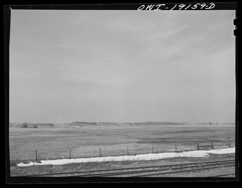
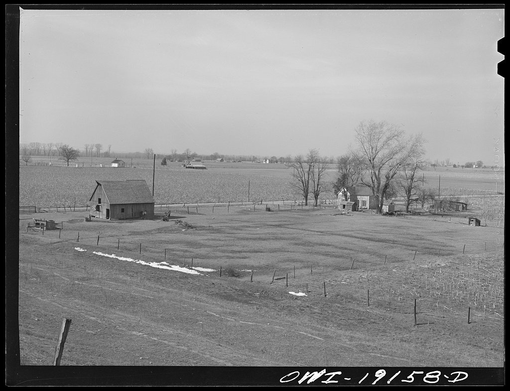
Farm landscape along the Atchison, Topeka and Santa Fe Railroad tracks near Carrollton, Missouri
1943 · Farm landscape along the Atchison, Topeka and Santa Fe Railroad tracks near Carrollton, Missouri · Library of Congress
Carrollton’s story

193 years in pictures

12 postcards, papers and photographs from public archives, and 4 places on the National Register.

Farm landscape along the Atchison, Topeka and Santa Fe Railroad tracks near Carrollton, MissouriCarrollton (vicinity), Missouri. A section gang at work along the Atchison, Topeka, and Santa Fe Railroad between Marce…Untitled photo, possibly related to: Carrollton (vicinity), Missouri. A section gang at work along the Atchison, Topeka…
Explore the history →

Landmarks

4 places in Carrollton on the National Register of Historic Places.

All landmarks →

Famous people from Carrollton

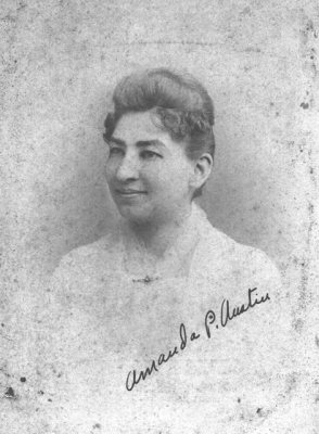
12 notable people were born in Carrollton.

See all 12 →

About Carrollton

City in Missouri, United States

Official town website ↗

Carrollton is a city and the county seat of Carroll County, Missouri, United States. Carrollton won the 2005 All-America City Award, given out annually by the National Civic League. The population was 3,514 at the 2020 census.

From Wikipedia, licensed CC BY-SA 4.0 · facts via Wikidata (CC0)

Established
1833
Population
3,514
Area
4.2 sq mi
Elevation
755 ft
ZIP code
64633
Area code
660

More about Carrollton

Still missing for Carrollton:upcoming events

Post to Carrollton

We’ll email a one-tap link to publish your post. No password, and nothing is public until you click it.
Already a member? Sign in
Photo of Carrollton

Carrollton, MO · Photo: Ichabod · CC BY-SA 3.0 · Source ↗