Brashear’s history is
mostly unwritten
The public archives hold just one old photo of Brashear. The rest are in attics, shoeboxes and the historical society. Help start the collection.
The story
from WikipediaRead it all ↗The town of Brashear was laid out in 1872. It was named after Richard Matson Brashear (1846-1933), who was a prominent farmer and businessman in the area. Richard Matson Brashear was the son of William Gowan Brashear (1807-1862), who is said to have been one of the first white settlers in the area in 1842. However, the Brashear community dates back prior to 1872 by several years. Approximately one mile north of the current location, there once stood a prosperous small village named Paulville, also known as Paultown, which was established around 1855 by a man named Walker Paul (1816-1888). Paulville served as a trading hub for the farms of eastern Adair County, along with several other businesses, one of which was a grist mill. Sometime during the Civil War, the grist mill was put to the torch to prevent Confederate recruits from being resupplied. The coming of the Quincy, Missouri &…
Text from Wikipedia, licensed CC BY-SA 4.0.
Start Brashear’s collection
The first neighbors to add old photos shape how Brashear’s history is told.
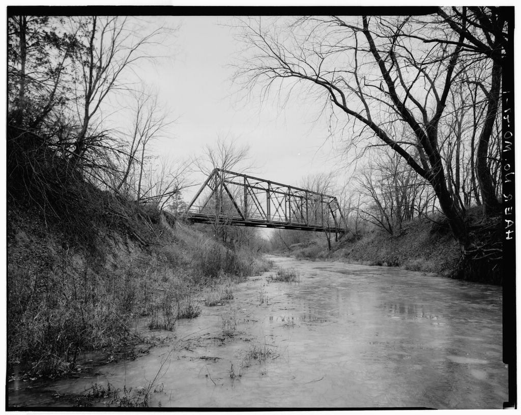
0 of 10 decades since 1900 have photos 🗓️Date a photo1 archive item has no date+2 🔁Retake an old viewOld Grade Road Bridge, Spanning B…: stand where they stood+15 📦Share a family photoSign in to add one+10Famous people close to Brashear
See all 28 →

Brashear, decade by decade
2000
unknown1 item
Nothing in Brashear is on the National Register yet
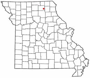
That’s true of most small towns. It doesn’t mean Brashear has no history, only that no one has written up a nomination. The closest listed place is St. Mary's Church in Brashear, 7.2 miles away.
Brashear and the nearest listed places


How a place gets listed
Then & now
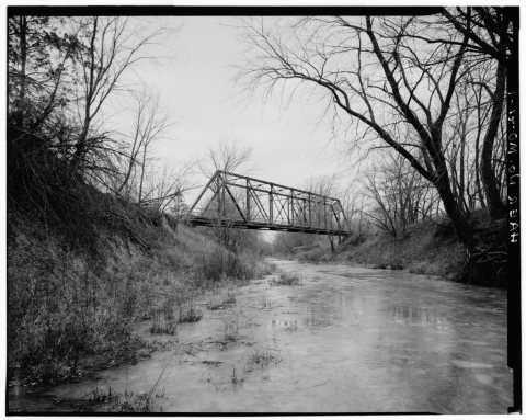
No then-and-now pairs yet. Take a photo from the same spot as Old Grade Road Bridge, Spanning Brashear Drainage Ditch (Salt River) and it appears here side by side.
🔁 Retake this view · +15Stories next door
nearby towns’ historyFrom Wikimedia Commons (1) and the Library of Congress (1). Images are copied here with their credits and licenses, shown on each photo’s page. Refreshed monthly.