A history of Bolivar,
then and now
Postcards, papers and photographs of Bolivar from public archives, woven together by decade. Neighbors fill in the gaps.
The story
from WikipediaRead it all ↗Bolivar began as a settlement around Keeling Spring, with the majority of settlers being from Hardeman County, Tennessee. The settlement became part of Greene County, Missouri when that county was organized in 1833. After the northern part of Greene County was ceded to form Polk County, Missouri, the Polk County Court proclaimed the settlement as a city, named it Bolivar, and designated it as the county seat on 10 November 1835. Bolivar was re-organized as a fourth-class city on 15 February 1881. Bolivar was a full Stop on the Butterfield Overland Mail Period 1858–1861 at the old Franklin Hotel and Relay Station.
The town layout was along the Boonville road that was the main road through the area during that time.
Text from Wikipedia, licensed CC BY-SA 4.0.
Timeline
built from the dates on the items belowFinish Bolivar’s story
Most archives stop around 1920. The photos from after that are in family albums, not libraries.
1 of 10 decades since 1900 have photos 🔁Retake an old viewA Southwest Baptist Float passes …, 1948: stand where they stood+15 📦Share a family photoSign in to add one+10Famous people from Bolivar
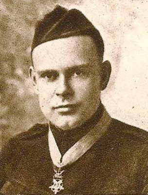
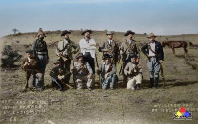
See all 7 →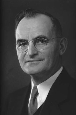


Bolivar, decade by decade
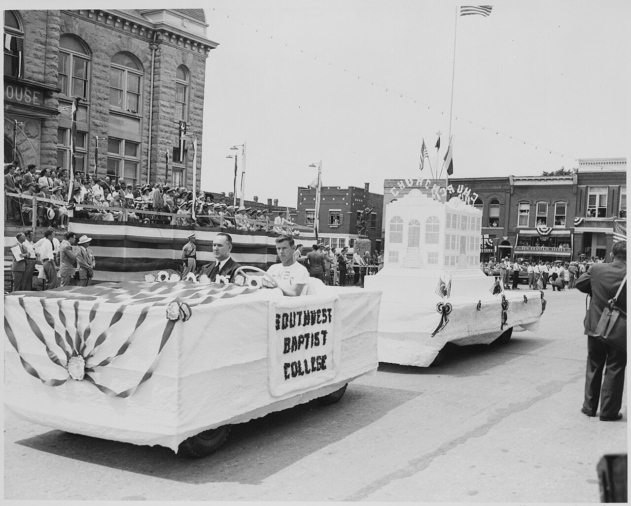
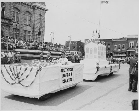 CommonsA Southwest Baptist Float passes in front of the reviewing …1948
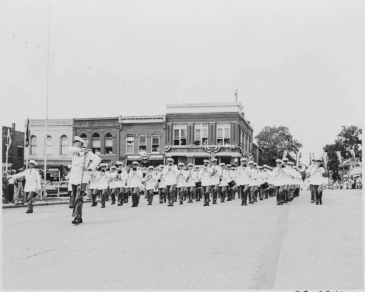
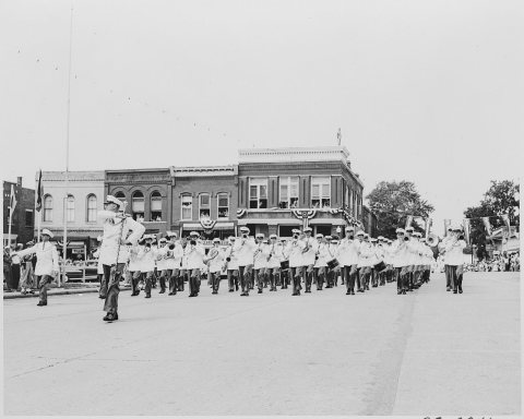 CommonsA band passing in formation before the reviewing stand (not…1948
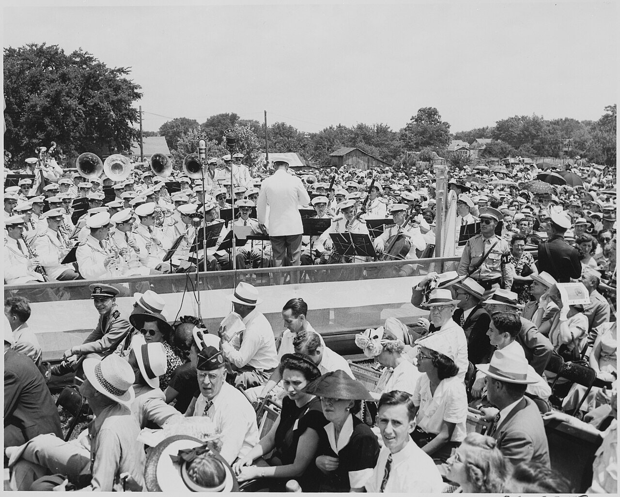
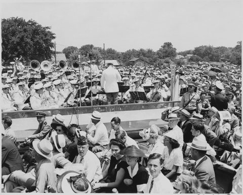 CommonsA band plays during the ceremonies in Bolivar, Missouri at …1948
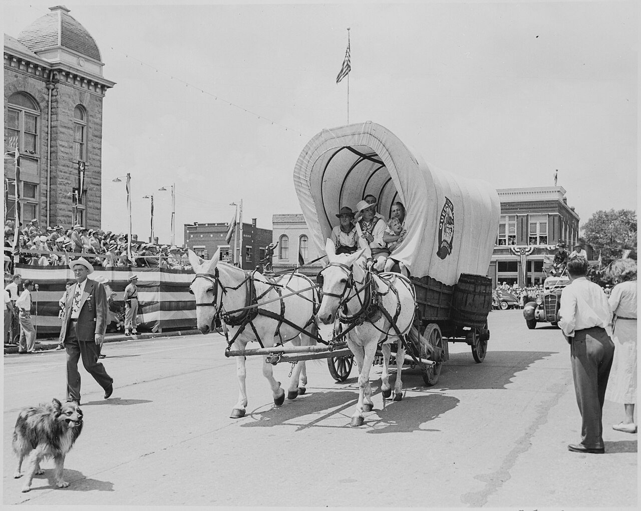
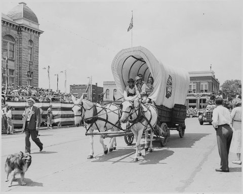 CommonsA covered wagon drawn by two white mules passes in front of…1948
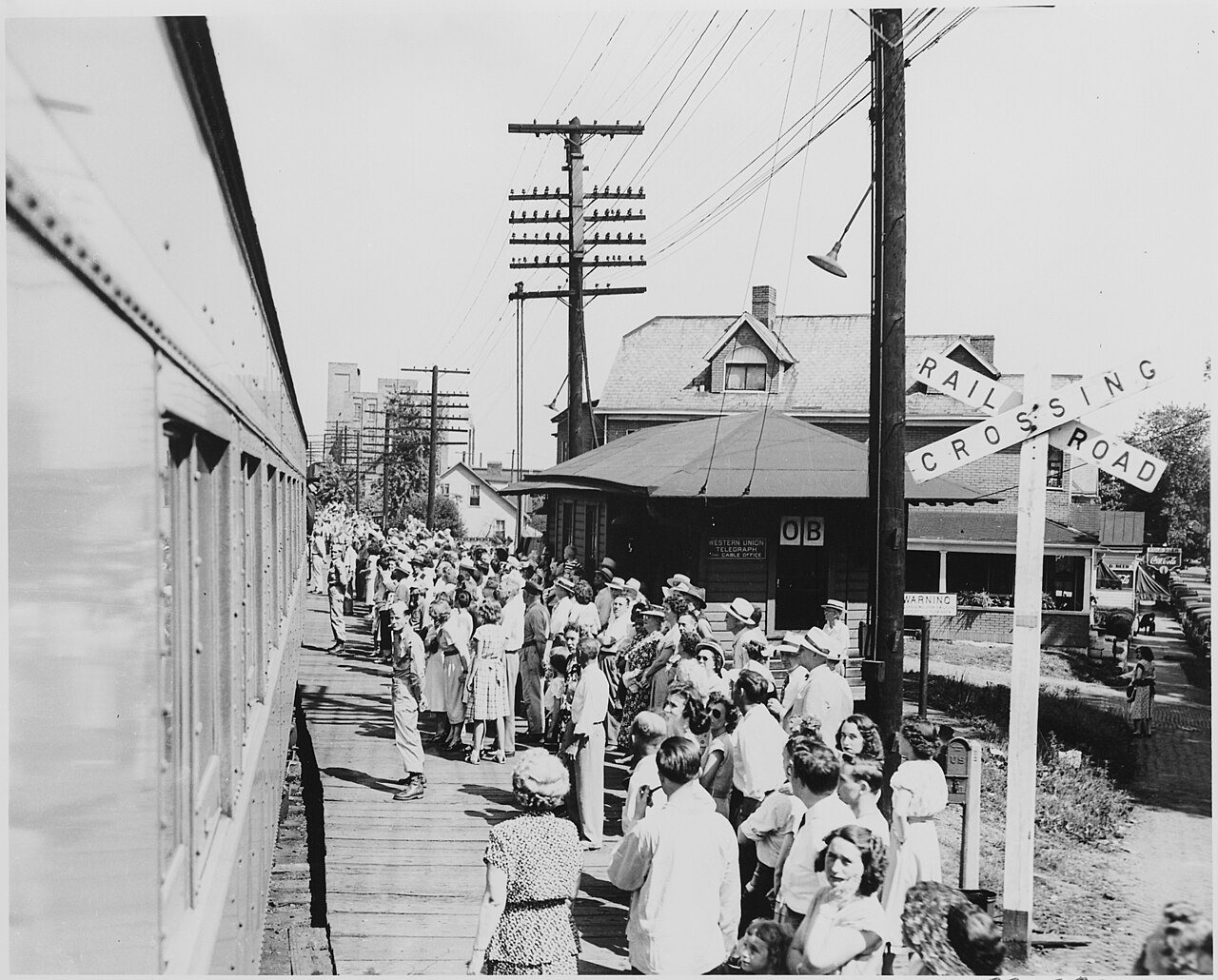
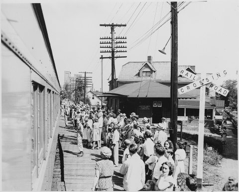 CommonsA crowd gathered at a railroad station, perhaps that at Bol…c. 1948
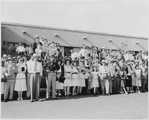 CommonsA crowd of people gathered at the train station at Bolivar,…1948
1990s
3 historic places in Bolivar
3 places in Bolivar are on the National Register of Historic Places, the country’s official list of buildings and places worth saving.
Where they are
When they were listed

Then & now
No then-and-now pairs yet. Take a photo from the same spot as A Southwest Baptist Float passes in front of the reviewing platform (in the distance) on which President Harry S.... - … (1948) and it appears here side by side.
🔁 Retake this view · +15Stories next door
nearby towns’ historyFrom Wikimedia Commons (6). Images are copied here with their credits and licenses, shown on each photo’s page. Refreshed monthly.