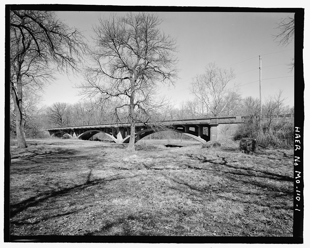
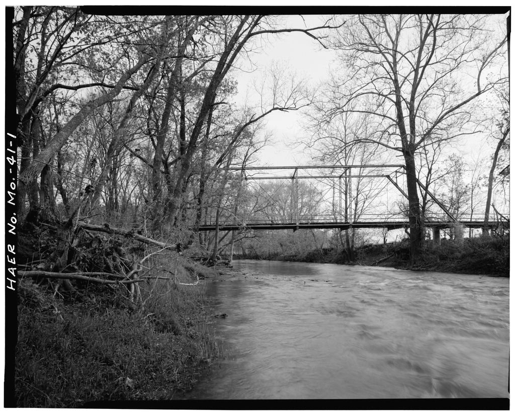
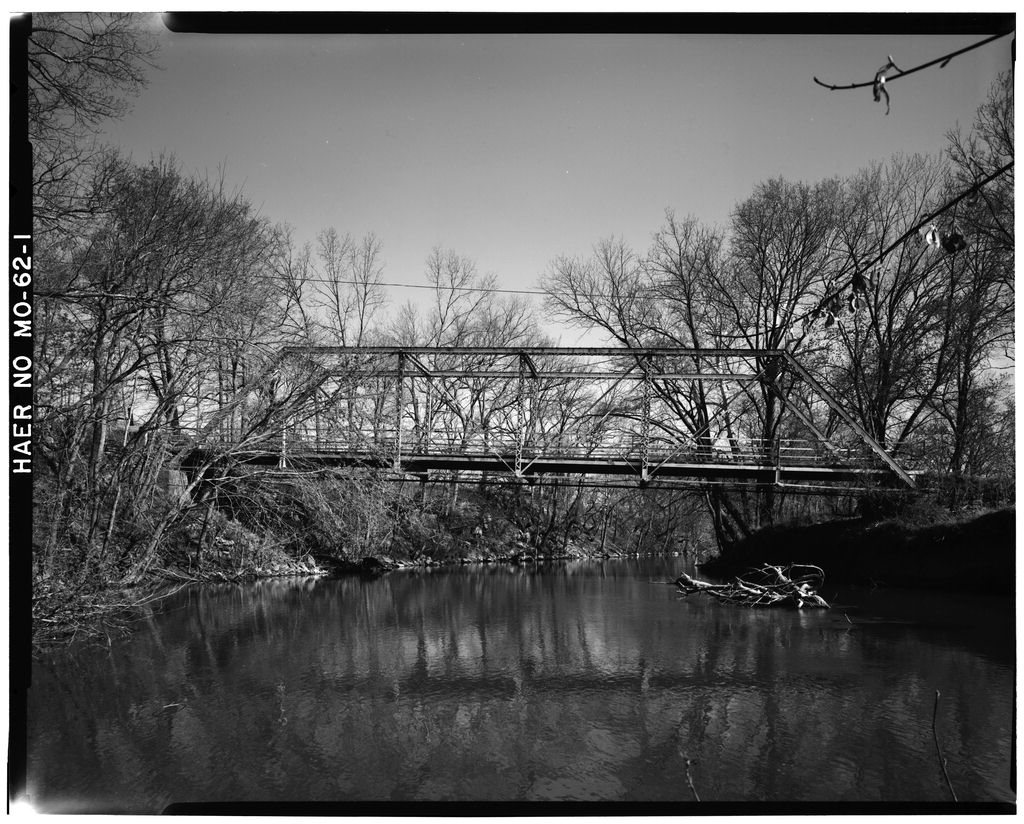
Ash Grove’s history is
mostly unwritten
The public archives hold only 3 old photos of Ash Grove. The rest are in attics, shoeboxes and the historical society. Help start the collection.
The story
from WikipediaRead it all ↗Ash Grove was laid out in 1853. The city was named from a grove of ash trees near the original town site. A post office called Ash Grove has been in operation since 1849.
Berry Cemetery, Gilmore Barn, and the Nathan and Olive Boone Homestead State Historic Site, are listed on the National Register of Historic Places.
Text from Wikipedia, licensed CC BY-SA 4.0.
Start Ash Grove’s collection
The first neighbors to add old photos shape how Ash Grove’s history is told.
0 of 10 decades since 1900 have photos 🗓️Date a photo3 archive items have no date+2 🔁Retake an old viewSac River Bridge, Spanning Sac Ri…: stand where they stood+15 📦Share a family photoSign in to add one+10Famous people from Ash Grove
See all 2 →Ash Grove, decade by decade
2000
unknown3 items

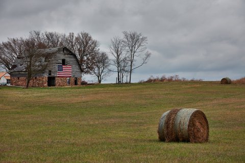 LOCRural scene with a patriotic flavor in Greene County, Misso…2020
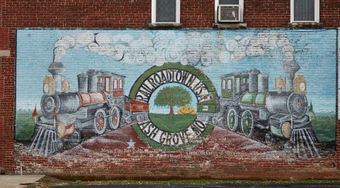 LOCA weathered "Railroadtown U.S.A." mural2020
 LOCA struggling small-town downtown2020
 LOCPart of a downtown block2020
 LOCPart of a downtown block2020
 LOCAbandoned stores in downtown Ash Grove, Missouri2020
 LOCAbandoned stores in downtown Ash Grove, Missouri2020
2 historic places in Ash Grove
2 places in Ash Grove are on the National Register of Historic Places, the country’s official list of buildings and places worth saving.
Where they are
When they were listed

Then & now
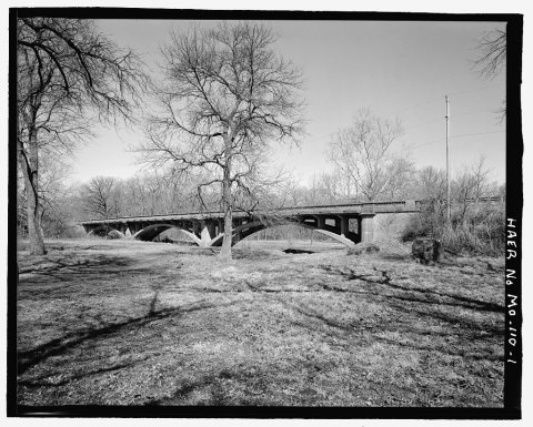
No then-and-now pairs yet. Take a photo from the same spot as Sac River Bridge, Spanning Sac River at U.S. Route 160 and it appears here side by side.
🔁 Retake this view · +15Stories next door
nearby towns’ historyFrom the Library of Congress (10). Images are copied here with their credits and licenses, shown on each photo’s page. Refreshed monthly.