The story
from WikipediaRead it all ↗The Osage peoples were the first people that lived in what today is Arnold, many artifacts have been found in the area that show there was an ancient Osage village near where the Meramec River meets the Mississippi River. In the area where 2 salt licks used to be, human bones have been found, along with pottery shards and many other artifacts. The first European settler in Arnold, was John Hildebrand an immigrant from Germany, that lived in Monongahela County, Pennsylvania. He was the first white settler in the area that is today Jefferson county, he established a settlement near saline creek, with a fort for protection. In 1776 French Canadian settler Jean Baptiste Gamache, who operated a ferry boat across the Meramec River was granted 1050 arpents of land by King Charles III of Spain. This ferry was on the King's Trace or El Camino Real, from St. Louis to Ste. Genevieve, Missouri.[1]…
Text from Wikipedia, licensed CC BY-SA 4.0.
Start Arnold’s collection
The first neighbors to add old photos shape how Arnold’s history is told.
0 of 10 decades since 1900 have photos 📦Share a family photoSign in to add one+10Famous people from Arnold
See all 3 →

Arnold, decade by decade
2000
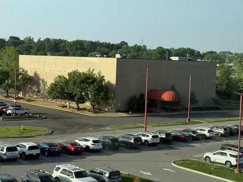 CommonsRickman Auditorium in Arnold, MO May 15, 20252025
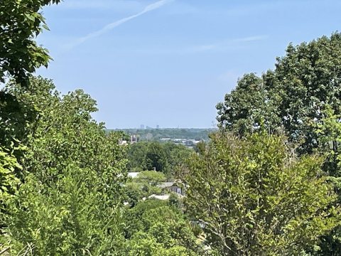 CommonsDowntown St. Louis seen from2023
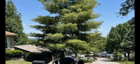 CommonsA street in2023
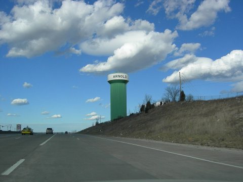 CommonsArnold Water Tower from I-55 North2010
 CommonsBarack Obama at town hall in Arnold, MS 4-29-09 22009
 CommonsBarack Obama at town hall in Arnold, MO 4-29-09 12009
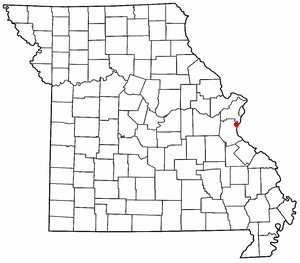 CommonsMOMap-doton-Arnold2004
Then & now
When neighbors add old photos, retakes from the same spot appear here side by side.
Stories next door
nearby towns’ historyFrom Wikimedia Commons (7). Images are copied here with their credits and licenses, shown on each photo’s page. Refreshed monthly.