The story
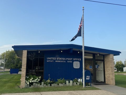
from WikipediaRead it all ↗Motley was laid out in 1874. A post office has been in operation at Motley since 1873.
In 1881, the Northern Pacific Railway built a 20-by-40-foot (6.1 by 12.2 m) passenger station on the east side of 2nd Street (between Front Street and Main Street) and a 24-by-60-foot (7.3 by 18.3 m) freight depot on the west side of 2nd Street. A spur line ran south from the mainline along 4th Avenue to a planing mill on the bank of the Long Prairie River (just south of Cemetery Road). The spur line was removed by 1920.
Text from Wikipedia, licensed CC BY-SA 4.0.
Start Motley’s collection
The first neighbors to add old photos shape how Motley’s history is told.
0 of 10 decades since 1900 have photos 📦Share a family photoSign in to add one+10Motley, decade by decade
2000

Then & now
When neighbors add old photos, retakes from the same spot appear here side by side.
Historic places
National Register · via Wikidata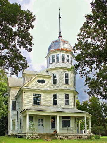
From Wikimedia Commons (5) and the National Register (1). Images are copied here with their credits and licenses, shown on each photo’s page. Refreshed monthly.