A history of Dawson,
then and now
Postcards, papers and photographs of Dawson from public archives, woven together by decade. Neighbors fill in the gaps.
The story
from WikipediaRead it all ↗The land Dawson sits on was originally home to the Wahpekute, Očhéthi Šakówiŋ, and Yanktonai people, three bands of the Dakota. Land was ceded to the US government by the Treaty of Traverse des Sioux in 1851. The treaties were signed on July 23 and August 6 in Traverse des Sioux and Mendota respectively. The land was ceded in exchange for $3,750,000, about 12 cents per acre. Little of the payment was actually received by the Dakota.
Dawson was platted in 1884. The city was named for William Dawson, a former mayor of St. Paul, and one of three partners in the Dawson Townsite Company. A post office has been in operation at Dawson since 1884. The city was incorporated in 1885.
Text from Wikipedia, licensed CC BY-SA 4.0.
Timeline
built from the dates on the items belowFinish Dawson’s story
Most archives stop around 1920. The photos from after that are in family albums, not libraries.
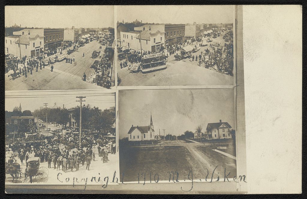
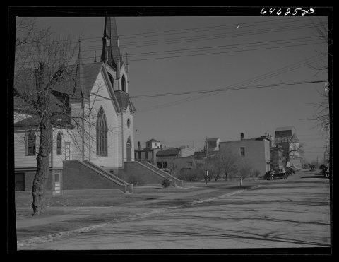
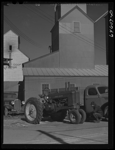
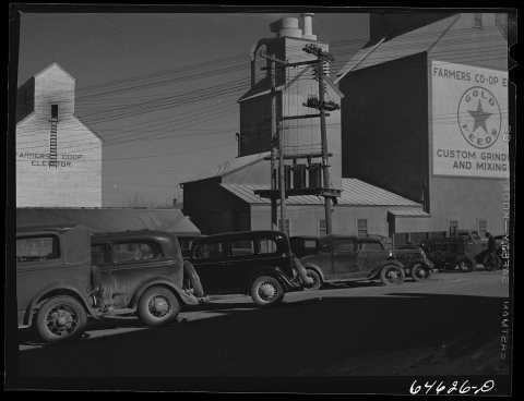
2 of 10 decades since 1900 have photos 🔁Retake an old viewStreet parade, July 4th, 1910: stand where they stood+15 📦Share a family photoSign in to add one+10Dawson, decade by decade
1990s
3 historic places in Dawson
3 places in Dawson are on the National Register of Historic Places, the country’s official list of buildings and places worth saving.
Where they are
When they were listed
Then & now
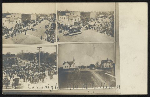
No then-and-now pairs yet. Take a photo from the same spot as Street parade, July 4th (1910) and it appears here side by side.
🔁 Retake this view · +15Stories next door
nearby towns’ historyFrom the Library of Congress (5) and the National Register (1). Images are copied here with their credits and licenses, shown on each photo’s page. Refreshed monthly.