The story
from WikipediaRead it all ↗The area was first organized as Walker Township on December 30, 1837, the second to be organized in Kent County. It initially comprised all of the land in the county north of the Grand River. Shortly thereafter in 1838, part of the township was split off to form Ada Township. The earliest settlers of the township were Canadian immigrants. In 1867, a township hall was built. However, the area where the township hall was annexed into Grand Rapids in 1959.
Walker was established as a city in 1962 to prevent further annexation of the area into Grand Rapids. At the time it was made a city, Walker had a population of 11,000.
Text from Wikipedia, licensed CC BY-SA 4.0.
Start Walker’s collection
The first neighbors to add old photos shape how Walker’s history is told.
0 of 10 decades since 1900 have photos 📦Share a family photoSign in to add one+10Famous people from Walker
See all 1 →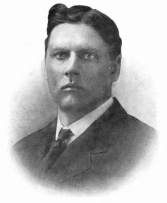
Walker, decade by decade
2000
Then & now
When neighbors add old photos, retakes from the same spot appear here side by side.