The story
from WikipediaRead it all ↗This part of Michigan was settled in the 1830s, after the removal of native people. Allegan County was organized in 1835, and the Plainwell area was settled soon after. It was on a stagecoach route from Kalamazoo to Grand Rapids, and later the Grand Rapids and Indiana Railroad was constructed along the same route. After the advent of the automobile, U.S. Route 131 was created and run through the town. In the 1960s, an improved 4-lane US-131 was built west of town to connect Kalamazoo and Grand Rapids, with an interchange on M-89 between Plainwell and Otsego. This allowed the town to become a kind of "bedroom community" for Kalamazoo or the southern part of Grand Rapids.
Text from Wikipedia, licensed CC BY-SA 4.0.
Start Plainwell’s collection
The first neighbors to add old photos shape how Plainwell’s history is told.
0 of 10 decades since 1900 have photos 📦Share a family photoSign in to add one+10Plainwell, decade by decade
2000
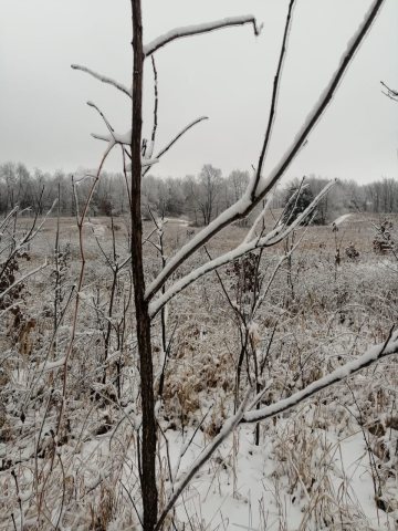 CommonsBittersweet Ski Resort2021
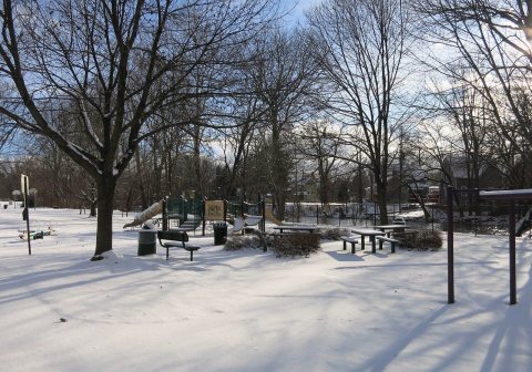 CommonsSherwood Park (1)2019
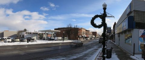 CommonsPlainwell2019
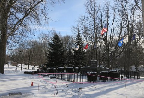 CommonsPlainwell Veterans Memorial2019
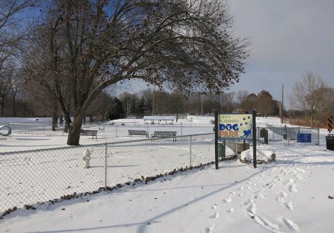 CommonsPlainwell Dog Park2019
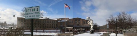 CommonsPlainwell City Hall2019
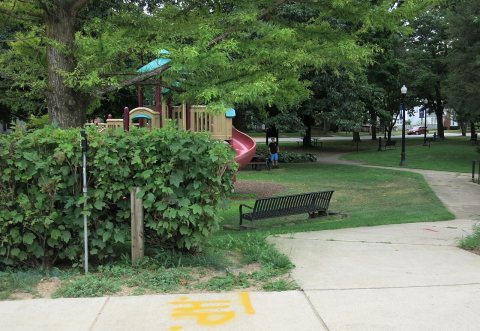 CommonsHicks Park2019
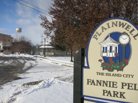 CommonsFannie Pell Park2019
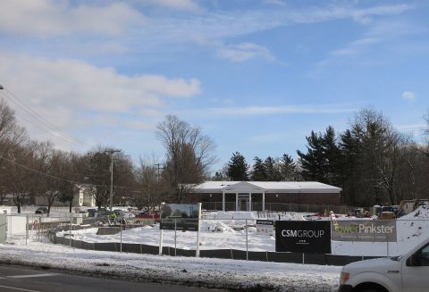 CommonsCharles A. Ransom District Library2019
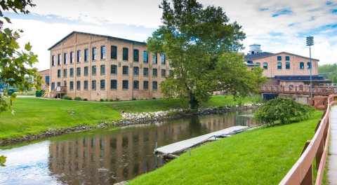 CommonsMichigan Paper Co2014
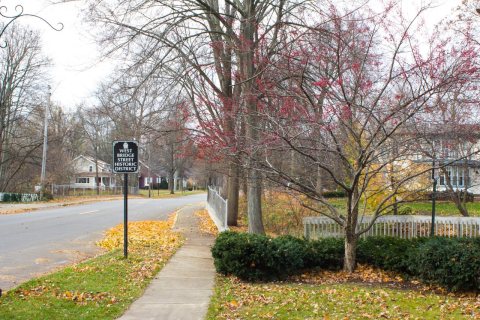 CommonsWest Bridge2013
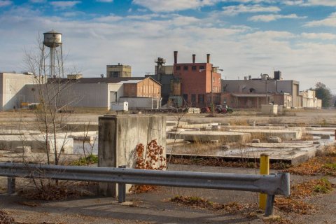 CommonsMichigan Paper2013
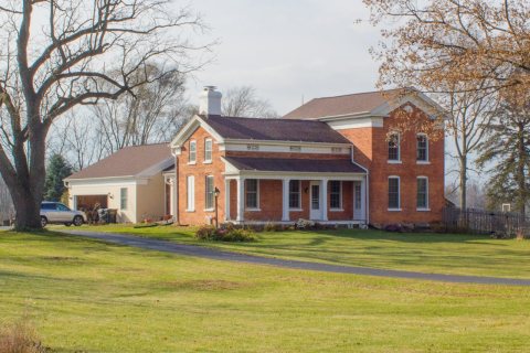 CommonsJames Noble Sherwood2013
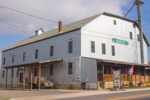 CommonsEssley Mill2013
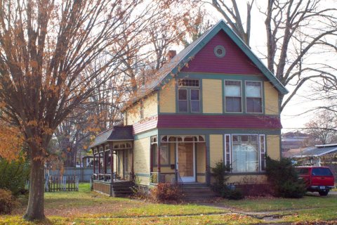 CommonsCherry DeLefebvre2013
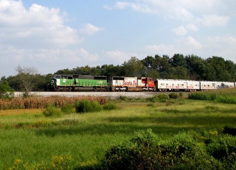 CommonsCircus Train2011
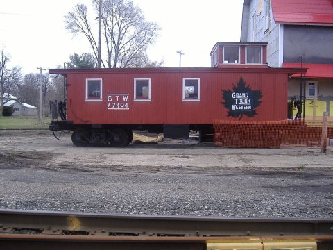 CommonsGrand trunk western caboose2008
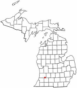 CommonsMIMap-doton-Plainwell2005
Then & now
When neighbors add old photos, retakes from the same spot appear here side by side.
Stories next door
nearby towns’ historyFrom Wikimedia Commons (18). Images are copied here with their credits and licenses, shown on each photo’s page. Refreshed monthly.