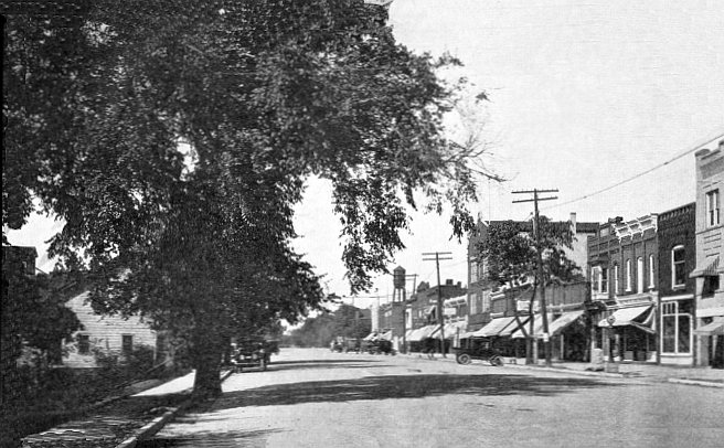
Oxford’s history is
mostly unwritten
The public archives hold just one old photo of Oxford. The rest are in attics, shoeboxes and the historical society. Help start the collection.
The story
from WikipediaRead it all ↗During the early 19th century the northeast Oakland County area was largely avoided by the early settlers because it was believed to be nothing but impenetrable swamp land. The area was, at that time, nicknamed "The Barren Plains of Oxford." It was called this primarily because of a report made in 1812 by the U.S. Surveyor General that described the area as a poor, barren, sandy land, on which scarcely any vegetation could grow with the exception of some very small scrubby oaks. It was concluded in the surveyors' report there was one acre out of one hundred that appeared to be eligible for cultivation. Any hope for crop production was thought to be preposterous. At this point, the area was deemed worthless, and discouragement of any hope for development by forthcoming settlers was inevitable.
Text from Wikipedia, licensed CC BY-SA 4.0.
Timeline
built from the dates on the items belowStart Oxford’s collection
The first neighbors to add old photos shape how Oxford’s history is told.
1 of 10 decades since 1900 have photos 🔁Retake an old viewOxford, Michigan (1922), 1922: stand where they stood+15 📦Share a family photoSign in to add one+10Famous people from Oxford
See all 7 →




Oxford, decade by decade
1990s
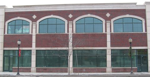 CommonsCentennial Commerce Center (unfinished)2007
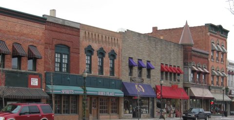 CommonsAnother portion of the west side block of Lapeer Road2007
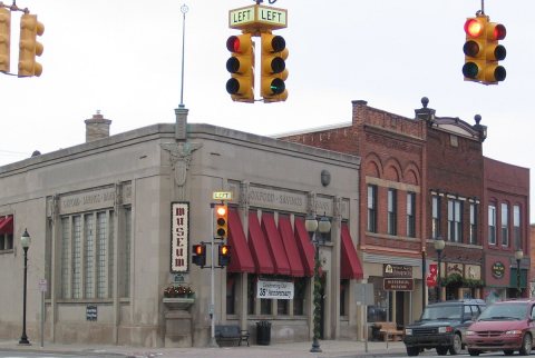 CommonsA small portion of the west side block of Lapeer Road2007
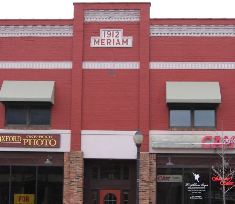 CommonsA small portion of the east side block of Lapeer Road2007
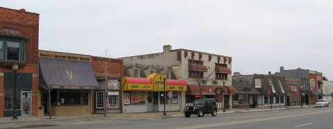 CommonsA portion of the east side block of Lapeer Road2007
Nothing in Oxford is on the National Register yet
That’s true of most small towns. It doesn’t mean Oxford has no history, only that no one has written up a nomination. The closest listed place is Oxford Downtown Historic District in Oxford, 0.6 miles away.
Oxford and the nearest listed places
Closest to Oxford
 William Edmund and Nina A. Downey Scripps EstateOrion · District5miLower Trout Lake Bathhouse Complex and Contact StationOrion · District6mi
How a place gets listed
Then & now
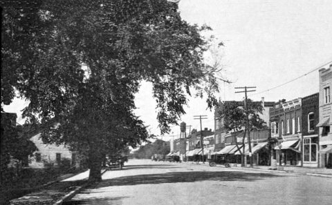
No then-and-now pairs yet. Take a photo from the same spot as Oxford, Michigan (1922) (1922) and it appears here side by side.
🔁 Retake this view · +15Stories next door
nearby towns’ historyFrom Wikimedia Commons (6). Images are copied here with their credits and licenses, shown on each photo’s page. Refreshed monthly.