Ironwood

What’s happening
Upcoming events
Put the next local happening — a market, a meeting, a concert — on the map.
Local news
Headlines via Google News · Articles belong to their publishers.
The Ironwood album
Outdoors in Ironwood
Parks & trails →Trails & parks © OpenStreetMap contributors · Conserved land: USGS PAD-US
About Ironwood
City in Michigan, United StatesIronwood is a city in Gogebic County in the Upper Peninsula of the U.S. state of Michigan, about 18 miles (29 km) south of Lake Superior. The city is on US Highway 2 across the Montreal River from Hurley, Wisconsin. It is the westernmost city in Michigan, situated on the same line of longitude (90.2 degrees West) as Clinton, Iowa, and St. Louis, Missouri. The population was 5,045 at the 2020 census, down from 5,387 at the 2010 census. The city is bordered by Ironwood Township to the north, but the two are administered autonomously. While originally an iron mining town, the area is now known for its downhill skiing resorts, including Big Powderhorn, Snowriver, Mount Zion and Whitecap as well…
From Wikipedia, licensed CC BY-SA 4.0 · facts via Wikidata (CC0)
How Ironwood ranks
All →Town numbers
Safety in Ironwood
Safety Grade B+
Ironwood reports less crime per resident than 74% of the U.S. towns and cities we grade.
Schools in Ironwood
All Ironwood schools →School Grade C+
The public schools Ironwood’s kids attend, from kindergarten through graduation, trail 61% of Michigan’s districts on state tests and graduation. Among towns with similar incomes, they sit near the middle.
School data from the U.S. Department of Education (NCES, EDFacts). The School Grade is our own summary of state test results and graduation rates, graded within MI. Ratings are from neighbors.
Where Ironwood is
Explore map →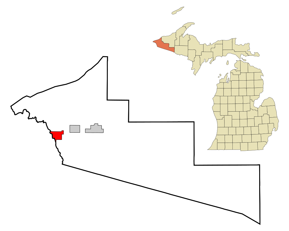

Location map