The story
from WikipediaRead it all ↗While initially settled over a century ago, much of the city in its current form was built in the middle of the 20th century, particularly around and just after World War II, distinguishing Grosse Pointe Woods from older portions of Grosse Pointe.
The city was originally incorporated as the Village of Lochmoor in 1927 from the last unincorporated portion of Grosse Pointe Township. The village annexed the Stanhope-Allard strip of land from what was then Gratiot Township in 1931. The village changed its name from Lochmoor to Grosse Pointe Woods in 1939, but didn't incorporate as a city until 1950.
Text from Wikipedia, licensed CC BY-SA 4.0.
Start Grosse Pointe Woods’s collection
The first neighbors to add old photos shape how Grosse Pointe Woods’s history is told.
0 of 10 decades since 1900 have photos 📦Share a family photoSign in to add one+10Famous people from Grosse Pointe Woods
See all 4 →


Grosse Pointe Woods, decade by decade
2000
Then & now
When neighbors add old photos, retakes from the same spot appear here side by side.
Stories next door
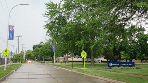
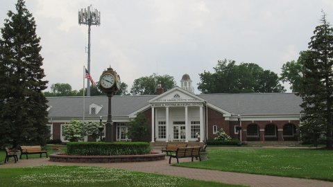
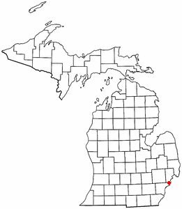
nearby towns’ historyFrom Wikimedia Commons (3). Images are copied here with their credits and licenses, shown on each photo’s page. Refreshed monthly.