The story
from WikipediaRead it all ↗Grant Township was one of the original townships of Keweenaw County, which was organized in 1861. At the time, Grant Township occupied a much smaller centralized area of the county. The township soon expanded and absorbed the townships of Sibley and Copper Harbor, which are now defunct but can be seen on an 1873 map of Keweenaw County.
The Keweenaw Rocket Range, located within the township at the easternmost tip of the Keweenaw Peninsula, was used by NASA as a rocket launch site from 1964 until 1971.
Text from Wikipedia, licensed CC BY-SA 4.0.
Start Grant’s collection
The first neighbors to add old photos shape how Grant’s history is told.
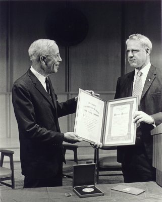
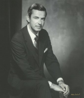
0 of 10 decades since 1900 have photos 📦Share a family photoSign in to add one+10Famous people close to Grant
See all 18 →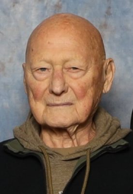
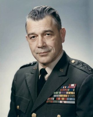
Grant, decade by decade
2000
6 historic places in Grant
Grant has 6 listings on the National Register, and they protect 47 historic buildings, because Keweenaw Mountain Lodge and Golf Course Complex alone counts 24.
Where they are
Architectural styles
When they were listed
 Listed 1970Fort Wilkins
 Listed 1980Keweenaw Mountain Lodge and Golf Course Complex
 Listed 1984Gull Rock Light Station
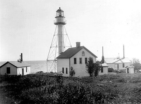 Listed 1984Manitou Island Light Station
 Listed 1999US 41-Fanny Hooe Creek Bridge
 Listed 2012Copper Harbor Light Station
Then & now
When neighbors add old photos, retakes from the same spot appear here side by side.
Stories next door
nearby towns’ historyFrom the National Register (3). Images are copied here with their credits and licenses, shown on each photo’s page. Refreshed monthly.