The story
from WikipediaRead it all ↗The area was first settled by John Martin in 1805, and the area was originally referred to as Pointe du Chene (Oak Point). In 1826, the area was organized as Plainfield Township, which was named by early settler John K. Smith after his hometown of Plainfield, Vermont. A post office named Plainfield began operating here on April 5, 1826 with Smith serving as the first postmaster. In 1828, the township was reorganized and renamed after attorney and statesman Henry Clay, and the post office was later renamed Clay on December 23, 1835; Smith continued serving as postmaster. The post office was renamed Algonac on August 17, 1843. Algonac incorporated as a village within Clay Township in 1867. The village gained autonomy from the township when it incorporated as a city in 1967.
Text from Wikipedia, licensed CC BY-SA 4.0.
Timeline
built from the dates on the items belowStart Clay’s collection
The first neighbors to add old photos shape how Clay’s history is told.
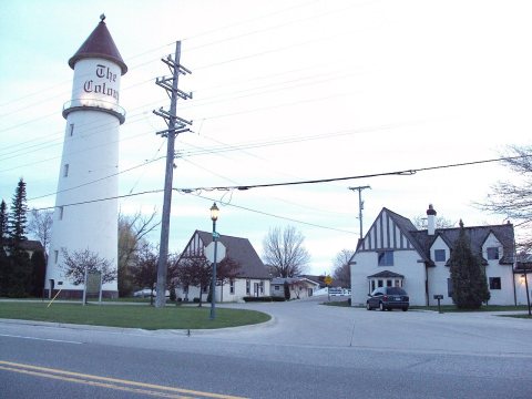
1 of 10 decades since 1900 have photos 🔁Retake an old viewThe Colony Lighthouse now at Syme…, 1988: stand where they stood+15 📦Share a family photoSign in to add one+10Clay, decade by decade
1990s

Then & now
No then-and-now pairs yet. Take a photo from the same spot as The Colony Lighthouse now at Symen of a subdivision, Route 29, Clay Township, Michigan (1988) and it appears here side by side.
🔁 Retake this view · +15Stories next door
nearby towns’ historyFrom Wikimedia Commons (6). Images are copied here with their credits and licenses, shown on each photo’s page. Refreshed monthly.