Chesaning’s history is
mostly unwritten
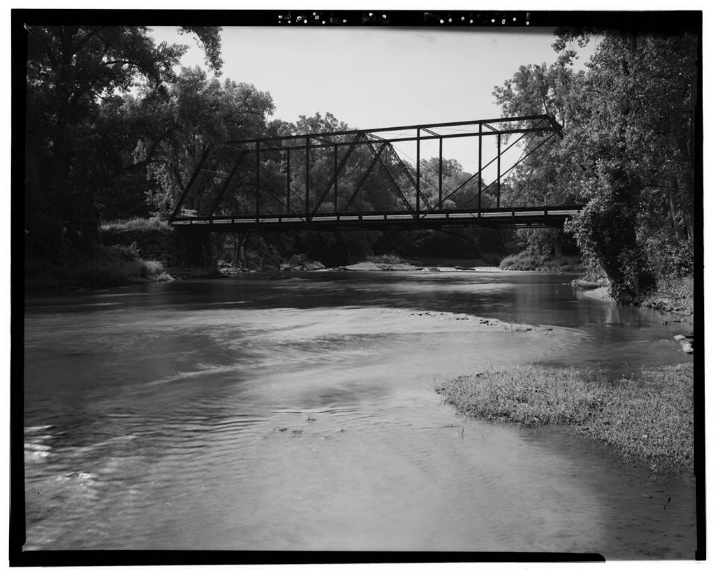
The public archives hold just one old photo of Chesaning. The rest are in attics, shoeboxes and the historical society. Help start the collection.
The story
from WikipediaRead it all ↗The first mention of Chesaning in the written pages of history is the Saginaw Treaty, signed in 1819. This treaty was between members of the Saginaw Tribe, Chippewa Indians, and the government of the United States. They established a number of reservations, including 10,000 acres (40 km2) along the banks of the Shiawassee River known as "Big Rock Reserve." Chesaning is a Chippewa word meaning "big rock place". The treaty continued in effect until 1837 when a second treaty led to the reserve being surveyed and offered for sale in 1841. The first land was sold at $5 per acre to brothers Wellington and George W. Chapman, and Rufus Mason. After making their land purchase, they traveled back to Massachusetts and moved their families to their new wilderness home by late summer of 1842.
Text from Wikipedia, licensed CC BY-SA 4.0.
Start Chesaning’s collection
The first neighbors to add old photos shape how Chesaning’s history is told.
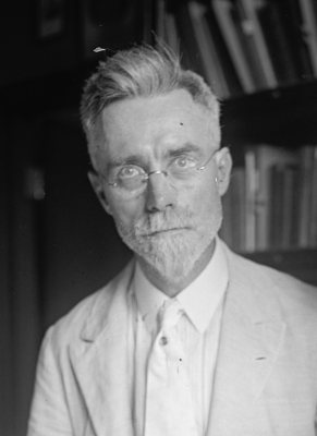
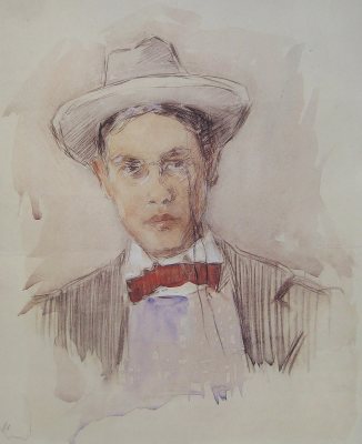
0 of 10 decades since 1900 have photos 🗓️Date a photo1 archive item has no date+2 🔁Retake an old viewParshallburg Bridge, Spanning Shi…: stand where they stood+15 📦Share a family photoSign in to add one+10Famous people close to Chesaning
See all 20 →
Chesaning, decade by decade
2000
unknown1 item
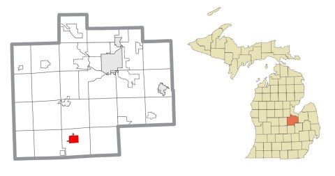
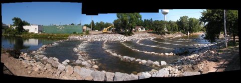
Nothing in Chesaning is on the National Register yet
That’s true of most small towns. It doesn’t mean Chesaning has no history, only that no one has written up a nomination. The closest listed place is Parshallburg Bridge in Chesaning, 2.9 miles away.
Chesaning and the nearest listed places
How a place gets listed
Then & now
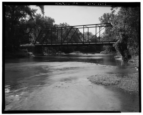
No then-and-now pairs yet. Take a photo from the same spot as Parshallburg Bridge, Spanning Shiawassee River and it appears here side by side.
🔁 Retake this view · +15Stories next door
nearby towns’ historyFrom Wikimedia Commons (4) and the Library of Congress (1). Images are copied here with their credits and licenses, shown on each photo’s page. Refreshed monthly.