The story
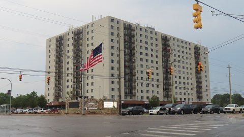
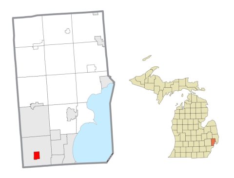
from WikipediaRead it all ↗Historically, the land that Center Line came to occupy was swamp and wilderness until the early nineteenth century. As land became scarce, French, German, Belgian, and Irish immigrants began clearing the forests and draining the swamps. Center Line was known as "Kunrod's Corner" during the mid-nineteenth century. The theory is that the French named it "Center Line" because it was the middle of three Potawatomi trails from Fort Detroit to northern trading posts. The "center line" was the trail used from Detroit to Utica. The community received its initial start when Catholics decided to build a church so that they would not have to walk to St. Mary's in Detroit for Sunday Mass. This church (St. Clement's) was established in 1854 and attracted more Catholic settlers into the area. In 1863, the first general store was constructed by Joeseph Buechel. On July 19, 1878, Hieronymous Engelmann …
Text from Wikipedia, licensed CC BY-SA 4.0.
Start Center Line’s collection
The first neighbors to add old photos shape how Center Line’s history is told.
0 of 10 decades since 1900 have photos 📦Share a family photoSign in to add one+10Center Line, decade by decade
2000
Then & now
When neighbors add old photos, retakes from the same spot appear here side by side.
Stories next door
nearby towns’ historyFrom Wikimedia Commons (2). Images are copied here with their credits and licenses, shown on each photo’s page. Refreshed monthly.