Buchanan’s history is
mostly unwritten
The public archives hold only 3 old photos of Buchanan. The rest are in attics, shoeboxes and the historical society. Help start the collection.
The story
from WikipediaRead it all ↗The community was named after James Buchanan, the 15th President of the United States. Popularly known as "Redbud City" because of the many redbud trees that have historically lined city streets and the major approaches to the city, Buchanan has long been recognized as a Tree City USA by the National Arbor Day Foundation.
The area, already having been populated by Native Americans in places such as the Moccasin Bluff site, was first settled in 1833 at the spot where McCoy Creek meets the St. Joseph River. The village of Buchanan was platted in 1842 and incorporated in 1858.
Text from Wikipedia, licensed CC BY-SA 4.0.
Timeline
built from the dates on the items belowStart Buchanan’s collection
The first neighbors to add old photos shape how Buchanan’s history is told.
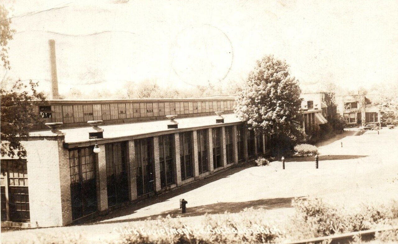
2 of 10 decades since 1900 have photos 🔁Retake an old viewClark Equipment Co, 1940: stand where they stood+15 📦Share a family photoSign in to add one+10Buchanan, decade by decade
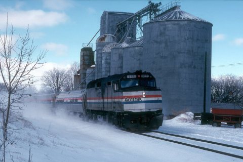
1980s
Then & now
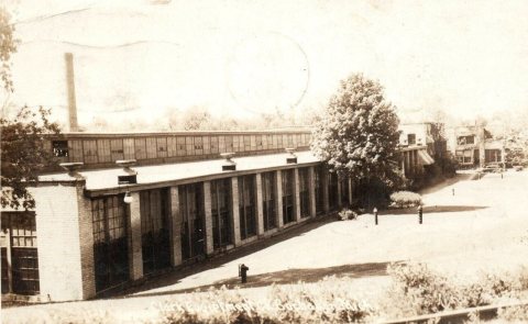
No then-and-now pairs yet. Take a photo from the same spot as Clark Equipment Co (1940) and it appears here side by side.
🔁 Retake this view · +15Historic places
National Register · via Wikidata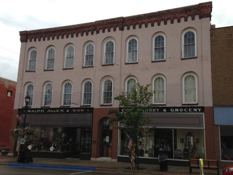
From Wikimedia Commons (5) and the National Register (1). Images are copied here with their credits and licenses, shown on each photo’s page. Refreshed monthly.