The story
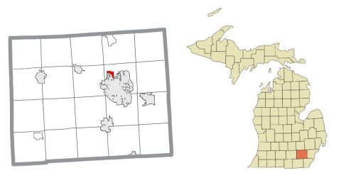
from WikipediaRead it all ↗In the early 1900s the land now occupied by Barton Hills Village was used for cattle grazing by a local firm, Towar Dairy. Around 1910, the Detroit Edison Company needed to increase its electrical generating capacity and decided to construct a series of dams and power stations along the Huron River. For that purpose they purchased 2,000 acres and water rights along both sides of the Huron River, including the Towar Dairy property. The present Barton Dam was built in 1913.
Text from Wikipedia, licensed CC BY-SA 4.0.
Start Barton Hills’s collection
The first neighbors to add old photos shape how Barton Hills’s history is told.
0 of 10 decades since 1900 have photos 📦Share a family photoSign in to add one+10Barton Hills, decade by decade
2000
Then & now
When neighbors add old photos, retakes from the same spot appear here side by side.
Stories next door
nearby towns’ historyFrom Wikimedia Commons (5). Images are copied here with their credits and licenses, shown on each photo’s page. Refreshed monthly.