The story
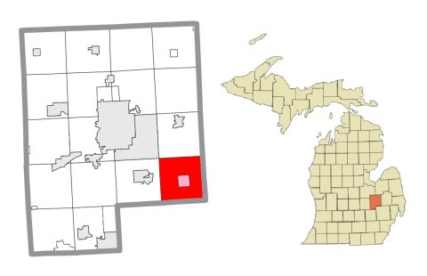
from WikipediaRead it all ↗Atlas Township was organized in 1836 as part of Lapeer County, and was one of the earliest townships in this region to receive settlers. The first settler was Asa Farrar, who, in September, 1839, purchased land on section 18 and built a log house upon it the same year. He was a brother of Pearson Farrar, who settled the same year in Grand Blanc upon an adjacent section. They came from Monroe County, New York. The first birth and the first marriage in the township occurred in Asa Farrar's family, respectively, in 1833 and 1834.
Text from Wikipedia, licensed CC BY-SA 4.0.
Timeline
built from the dates on the items belowStart Atlas’s collection
The first neighbors to add old photos shape how Atlas’s history is told.
0 of 10 decades since 1900 have photos 📦Share a family photoSign in to add one+10Famous people from Atlas
See all 1 →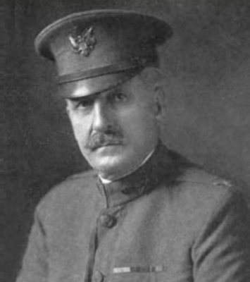
Atlas, decade by decade
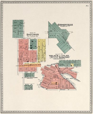
1990s
Then & now
When neighbors add old photos, retakes from the same spot appear here side by side.
Historic places
National Register · via Wikidata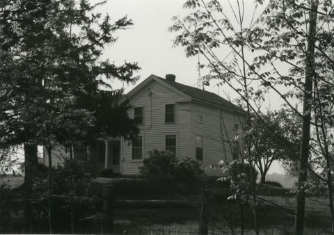
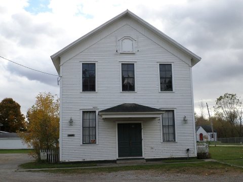
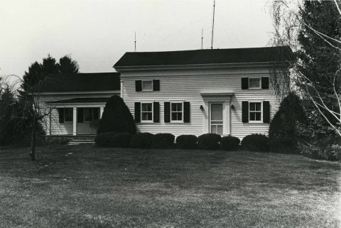
From Wikimedia Commons (2) and the National Register (3). Images are copied here with their credits and licenses, shown on each photo’s page. Refreshed monthly.