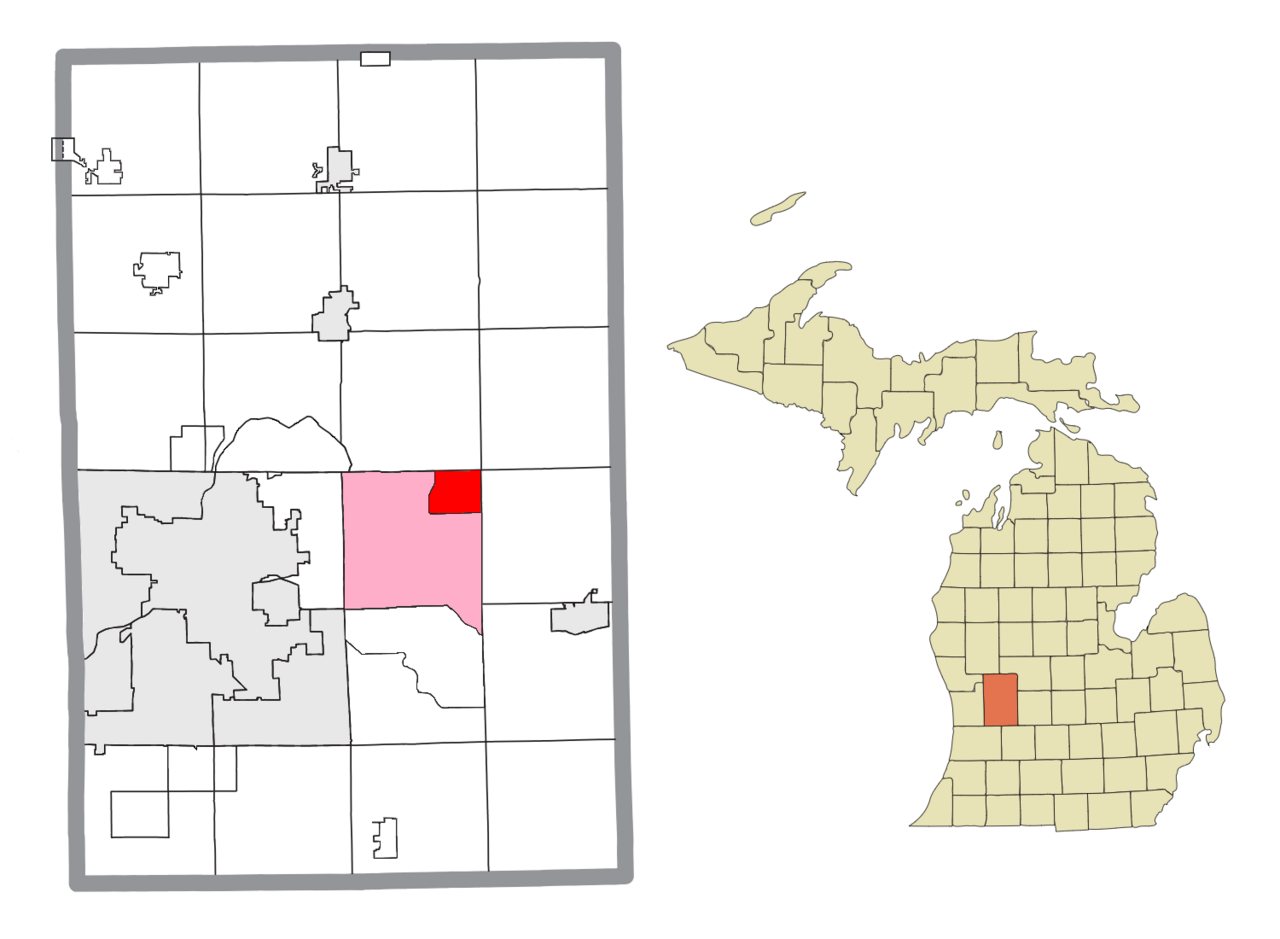
History · Ada
Ada’s history is
mostly unwritten
The public archives hold just one old photo of Ada. The rest are in attics, shoeboxes and the historical society. Help start the collection.
1old images & papers
1historic places
1need a date
The story
from WikipediaRead it all ↗At the turn of the 19th century, the land that would become Ada was a village of the Grand River Band of Ottawa, led by Nebawnaygezhick.
Text from Wikipedia, licensed CC BY-SA 4.0.
Be one of the first
Start Ada’s collection
The first neighbors to add old photos shape how Ada’s history is told.
0 of 10 decades since 1900 have photos 🗓️Date a photo1 archive item has no date+2 🔁Retake an old viewAda Township, MI location: stand where they stood+15 📦Share a family photoSign in to add one+10Famous people from Ada
See all 5 →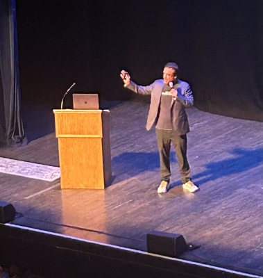



By decade
Ada, decade by decade
Before
2000
2000
No old photos in the archives yetWeddings on Main Street, storms, parades, school pictures, the old store. If it’s in your family album, it belongs here.
📷 Add from your albumDate
unknown1 item
unknown1 item
Today13 photos
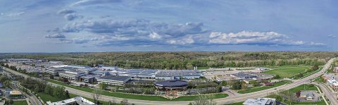 CommonsAmway Headquarters2025
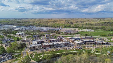 CommonsAda, Michigan2025
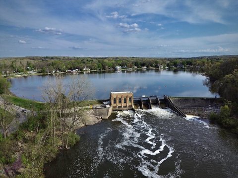 CommonsAda Dam, Thornapple River2025
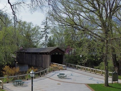 CommonsAda Covered Bridge2025
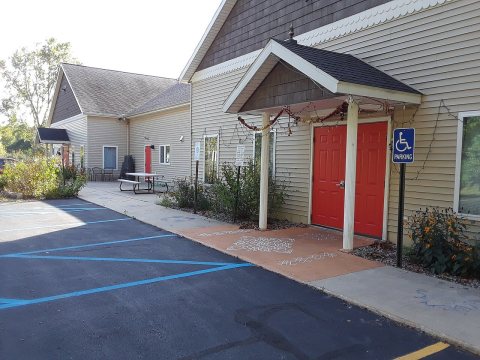 CommonsWestMichiganHinduTemple WMHT Ada MI 2019 10 10 16 07 172019
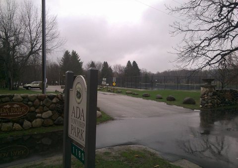 CommonsAda Township Park2019
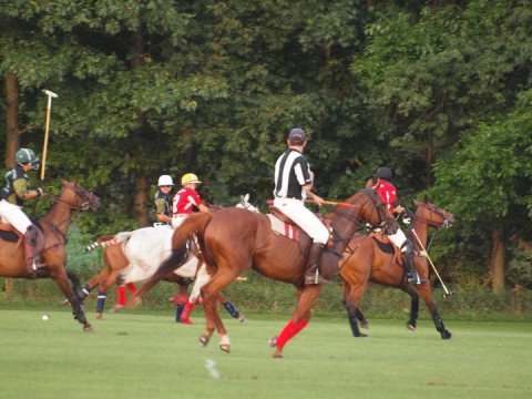 CommonsPolo umpire2010
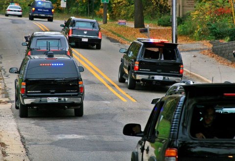 CommonsUSSS CAT Bush2008
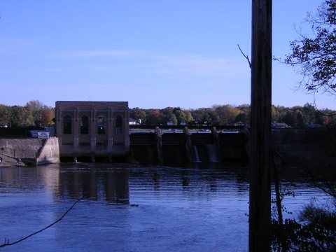 CommonsAda Michigan ThornappleRiver Dam DSCN96952006
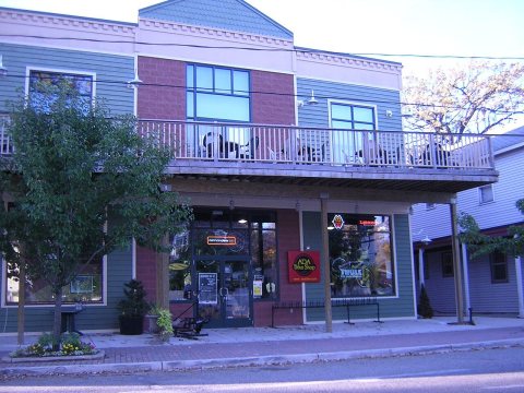 CommonsAda Michigan StreetSceneDSCN97162006
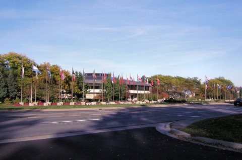 CommonsAda Michigan Amway HQ DSCN97202006
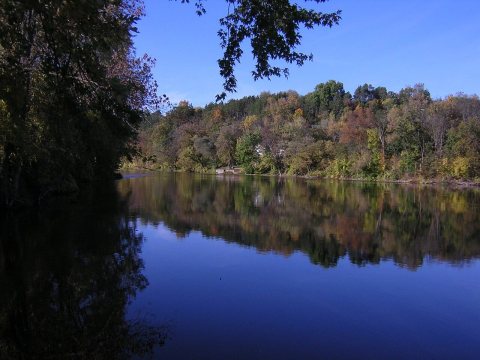 CommonsAda MI GrandRiver DSCN96842006
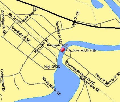 MapAda Covered Bridge TIGER map2006
Then & now
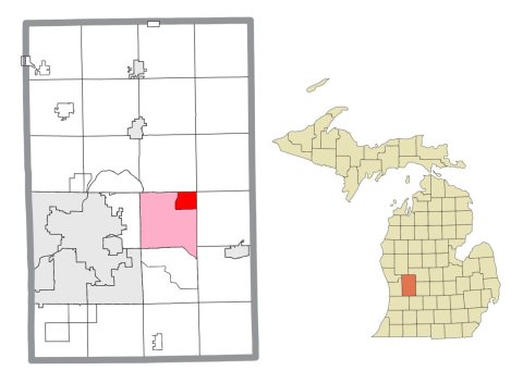
No then-and-now pairs yet. Take a photo from the same spot as Ada Township, MI location and it appears here side by side.
🔁 Retake this view · +15Historic places
National Register · via Wikidata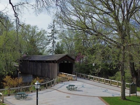
From Wikimedia Commons (14) and the National Register (1). Images are copied here with their credits and licenses, shown on each photo’s page. Refreshed monthly.