The story
from WikipediaRead it all ↗In 1808 James Grover was the first white settler in what is now Medford. In 1820, the state opened a road from the Piscataquis River, which helped increase settlement.
In 1820, John Parker Boyd, owner of the eastern half of the town, erected a combination sawmill and shingle mill on the Piscataquis River. In 1824, the town incorporated as Kilmarnock, the name chosen by Boyd.
An 1825 fire destroyed over three-quarters of the buildings in town, as well as the large stand of pine trees used to supply the sawmill and shingle mill. The mill was saved, but later closed because the burning of the nearby trees had deprived the business of a steady supply of wood.
Text from Wikipedia, licensed CC BY-SA 4.0.
Start Medford’s collection
The first neighbors to add old photos shape how Medford’s history is told.
0 of 10 decades since 1900 have photos 📦Share a family photoSign in to add one+10Medford, decade by decade
2000
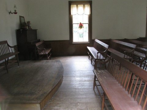 CommonsOld Church, Medford, Maine, internal view image 32018
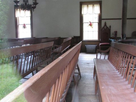 CommonsOld Church, Medford, Maine, internal view image 22018
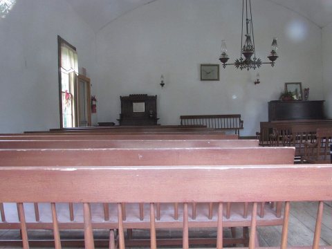 CommonsOld Church, Medford, Maine, internal view image 12018
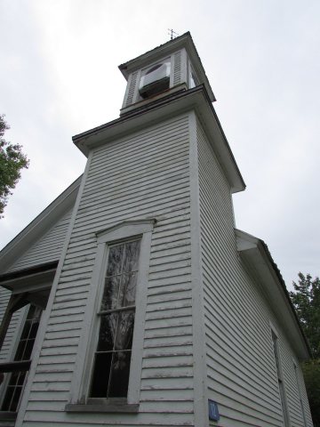 CommonsOld Church, Medford, Maine external view image 32018
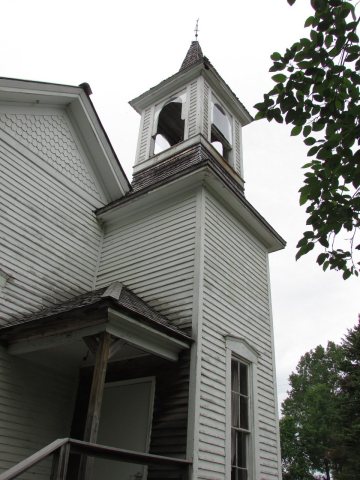 CommonsOld Church, Medford, Maine external view image 22018
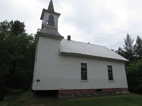 CommonsOld Church, Medford, Maine external view image 12018
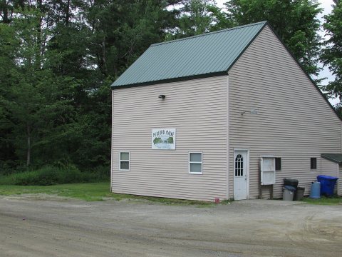 CommonsMedford, Maine Town Office2018
 CommonsWinter sunset 032010
Then & now
When neighbors add old photos, retakes from the same spot appear here side by side.
Stories next door
nearby towns’ historyFrom Wikimedia Commons (8). Images are copied here with their credits and licenses, shown on each photo’s page. Refreshed monthly.