A history of Kennebunk,
since 1621
Postcards, papers and photographs of Kennebunk from public archives, woven together by decade. Neighbors fill in the gaps.
The story
from WikipediaRead it all ↗First settled in 1621, the town developed as a trading and, later, shipbuilding until 1918, and shipping center with light manufacturing. It was part of the town of Wells and Arundel until 1820, when it incorporated as a separate town. "Kennebunk, the only village in the world so named," was featured on a large locally famous sign attached to the Kesslen Shoe Mill on Route One. To the Abenaki peoples, Kennebunk means "the long cut bank," presumably the long bank behind Kennebunk Beach.
Text from Wikipedia, licensed CC BY-SA 4.0.
Timeline
built from the dates on the items belowFinish Kennebunk’s story
Most archives stop around 1920. The photos from after that are in family albums, not libraries.
1 of 10 decades since 1900 have photos 🔁Retake an old viewView of Kennebunk Beach, ME, 1905: stand where they stood+15 📦Share a family photoSign in to add one+10Kennebunk, decade by decade
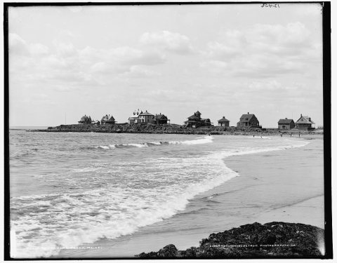 LOCKennebunk beach, Maine1900
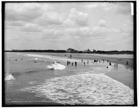 LOCSouth from breakwater1900
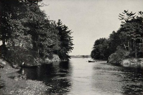 CommonsView of Kennebunk River 19031903
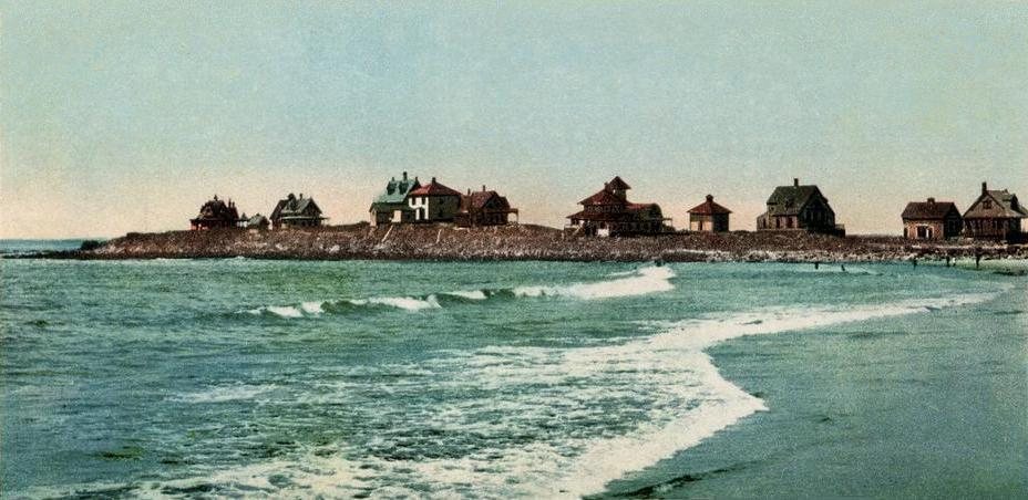
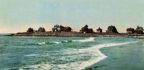 CommonsView of Kennebunk Beach, ME1905 · postcard
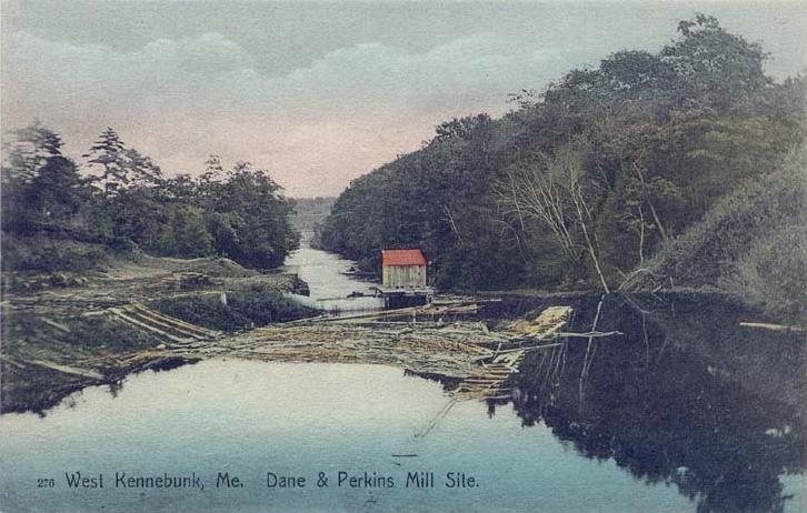
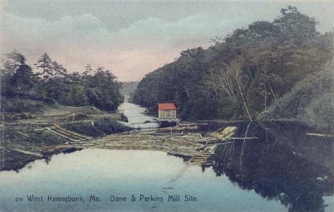 CommonsDane & Perkins Mill Site, Westc. 1908 · postcard
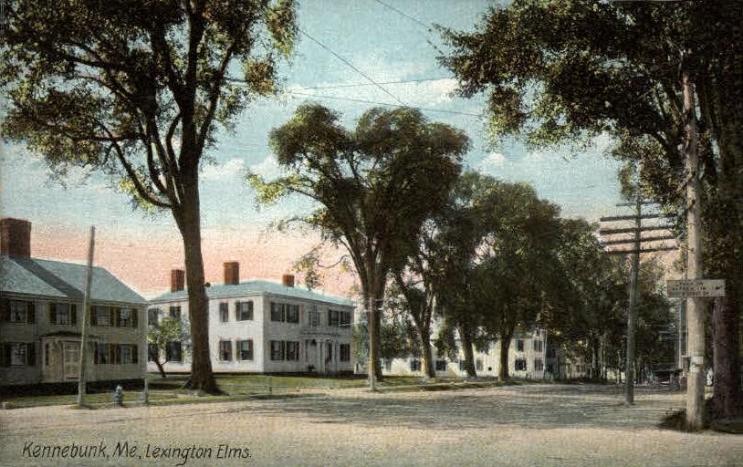
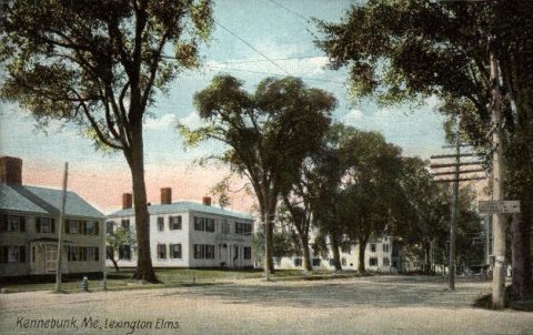 CommonsLexington Elms1908 · postcard
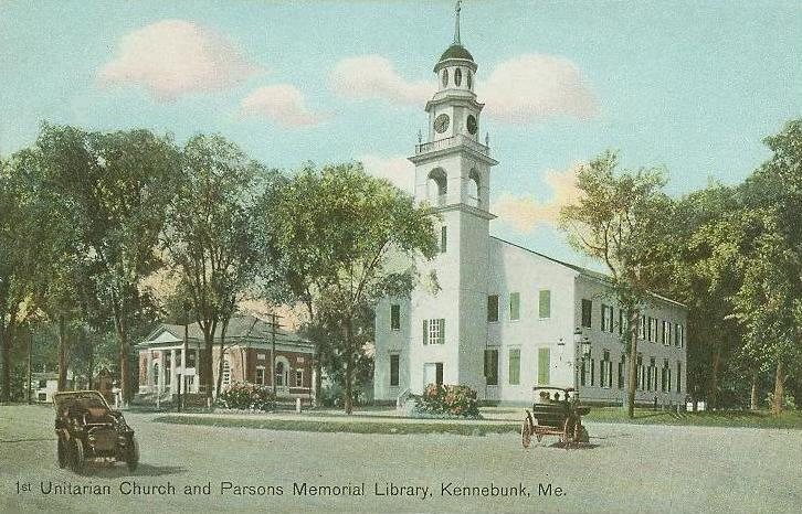
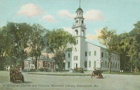 CommonsFirst Parish Church & Kennebunk Free Library1909 · postcard
1990s
Then & now
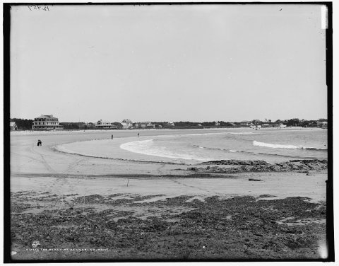
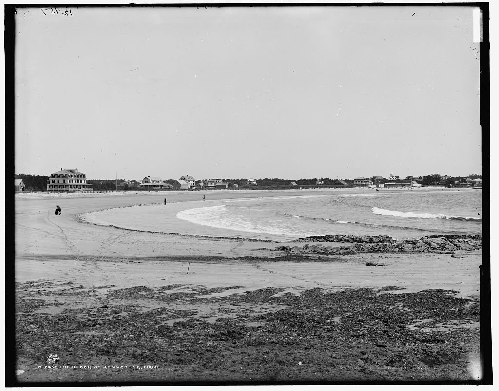
No then-and-now pairs yet. Take a photo from the same spot as The Beach at Kennebunk, Maine (1890) and it appears here side by side.
🔁 Retake this view · +15Historic places
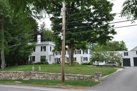
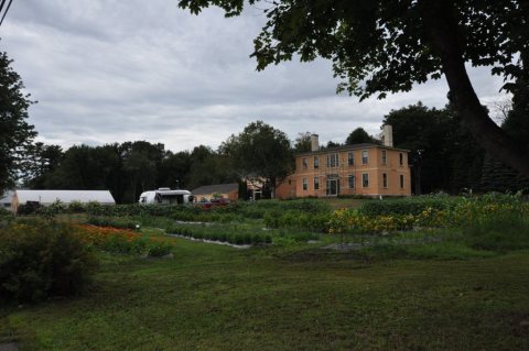
National Register · via Wikidata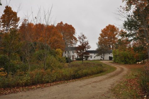
From Wikimedia Commons (6), the Library of Congress (3) and the National Register (3). Images are copied here with their credits and licenses, shown on each photo’s page. Refreshed monthly.